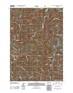
2011 Map of Roman Nose Mountain
USGS Topo · Published 2011About this map
Roman Nose Mountain dominates the southern skyline of this coastal range landscape, serving as a primary drainage divide for the complex network of creeks that feed into the Umpqua and Siuslaw systems. The small settlement of Linslaw is situated along the Siuslaw River in the northern portion of the quadrangle, where the Siuslaw River Rd follows the winding watercourse. The map reveals an intricate geography of timber access and forest management, defined by routes like BLM 29 1 Rd and Upper West Fork Smith River Rd.
Find a feature on this map
29 named features on this map. Tap any name to fly to it.
Don’t see what you’re looking for? This feature index may not catch every label — zoom into the map to look around manually.
Map Details
Editions of this 2011 Roman Nose Mountain Map
This is the sole edition of this map. No revisions or reprints were ever made.
Other maps of this area

1918 · Mapleton
USGS Topo · 1:48,000

1919 · Earl
USGS Topo · 1:48,000

1940 · Mapleton
USGS Topo · 1:62,500

1941 · Blachly
USGS Topo · 1:62,500

1942 · Blachly
USGS Topo · 1:62,500

1942 · Roman Nose Mtn
USGS Topo · 1:62,500

1943 · Goodwin Peak
USGS Topo · 1:62,500

1945 · Mapleton
USGS Topo · 1:62,500

1945 · Roman Nose Mtn
USGS Topo · 1:62,500

1953 · Salem
USGS Topo · 1:250,000