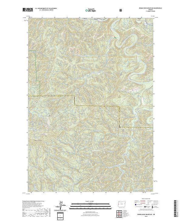
2024 Map of Roman Nose Mountain
USGS Topo · Published 2024About this map
Siuslaw National Forest encompasses much of this terrain, where the crest of Roman Nose Mtn overlooks a complex network of timber access routes and watercourses. Near the northern boundary, the settlement of Linslaw sits along the Siuslaw River, marking a focal point for activity before the land rises into the steep divides of the Coast Range. The map illustrates a landscape defined by its drainages, where the North Fork Smith River and West Fork Smith River originate among ridges such as the oddly named Wounded Knee.
Find a feature on this map
45 named features on this map. Tap any name to fly to it.
Don’t see what you’re looking for? This feature index may not catch every label — zoom into the map to look around manually.
Map Details
Editions of this 2024 Roman Nose Mountain Map
This is the sole edition of this map. No revisions or reprints were ever made.
Other maps of this area

1918 · Mapleton
USGS Topo · 1:48,000

1919 · Earl
USGS Topo · 1:48,000

1940 · Mapleton
USGS Topo · 1:62,500

1941 · Blachly
USGS Topo · 1:62,500

1942 · Blachly
USGS Topo · 1:62,500

1942 · Roman Nose Mtn
USGS Topo · 1:62,500

1943 · Goodwin Peak
USGS Topo · 1:62,500

1945 · Mapleton
USGS Topo · 1:62,500

1945 · Roman Nose Mtn
USGS Topo · 1:62,500

1953 · Salem
USGS Topo · 1:250,000