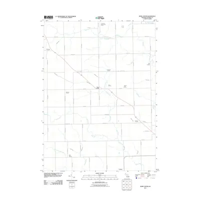
2011 Map of Rome Center
USGS Topo · Published 2011About this map
The settlement of Rome Center sits at the heart of this Lenawee County agricultural landscape, where the local road network is defined by early thoroughfares like Plank Rd and Rome Rd. This 2011 survey reveals a dense pattern of family burial grounds and community landmarks that speak to the area's deep genealogical roots. Numerous sites such as Halstead Farm Cemetery, Bates Farm Cemetery, and the West Rome Cemetery are scattered across the township, often situated near the drainage basins of Wallace Drain and Stoddard Drain.
Find a feature on this map
55 named features on this map. Tap any name to fly to it.
Don’t see what you’re looking for? This feature index may not catch every label — zoom into the map to look around manually.
Map Details
Editions of this 2011 Rome Center Map
This is the sole edition of this map. No revisions or reprints were ever made.
Other maps of this area

1935 · Jackson
USGS Topo · 1:48,000

1939 · Jackson
USGS Topo · 1:62,500

1948 · Manchester
USGS Topo · 1:62,500

1949 · Manchester
USGS Topo · 1:62,500

1953 · Fort Wayne
USGS Topo · 1:250,000

1956 · Fort Wayne
USGS Topo · 1:250,000

1958 · Grand Rapids
USGS Topo · 1:250,000

1961 · Grand Rapids
USGS Topo · 1:250,000

1962 · Grand Rapids
USGS Topo · 1:250,000
1962 · Clayton
USGS Topo · 1:24,000