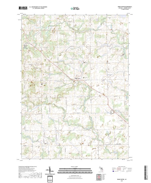
2023 Map of Rome Center
USGS Topo · Published 2023About this map
Rome Center sits at the heart of this Lenawee County landscape, serving as a focal point for a network of historical highways and rural cemeteries. The area is defined by a high concentration of small family and community burial grounds, such as the Halstead Farm Cem, Bates Farm Cem, and West Rome Cem, which offer significant value for genealogical research in this part of Michigan. In the northwest, the proximity of Manitou Beach and Devils Lake contrasts with the agricultural character found further south.
Find a feature on this map
64 named features on this map. Tap any name to fly to it.
Don’t see what you’re looking for? This feature index may not catch every label — zoom into the map to look around manually.
Map Details
Editions of this 2023 Rome Center Map
This is the sole edition of this map. No revisions or reprints were ever made.
Other maps of this area

1935 · Jackson
USGS Topo · 1:48,000

1939 · Jackson
USGS Topo · 1:62,500

1948 · Manchester
USGS Topo · 1:62,500

1949 · Manchester
USGS Topo · 1:62,500

1953 · Fort Wayne
USGS Topo · 1:250,000

1956 · Fort Wayne
USGS Topo · 1:250,000

1958 · Grand Rapids
USGS Topo · 1:250,000

1961 · Grand Rapids
USGS Topo · 1:250,000

1962 · Grand Rapids
USGS Topo · 1:250,000
1962 · Clayton
USGS Topo · 1:24,000