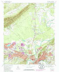
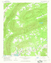
1967 Map of Rome North
USGS Topo · Published 1986About this map
The confluence of the Oostanaula River and Etowah River defines the industrial and educational heart of Rome during this mid-century period. The map illustrates a city in transition, where urban expansion marked in purple tint encroaches upon long-established institutional grounds. Dominating the northern landscape is the extensive campus of Berry College and Berry Academy, positioned near the base of Lavender Mountain. The river-bound geography is further shaped by the Coosa River forming at the city's edge, while the transportation network relies on the Central of Georgia and Southern Railway corridors. Finer details reveal local history markers such as the Myrtle Hill Cemetery and specialized facilities like the NW Georgia Experimental Station and Georgia Regional Hospital.
Find a feature on this map
71 named features on this map. Tap any name to fly to it.
Don’t see what you’re looking for? This feature index may not catch every label — zoom into the map to look around manually.
Map Details
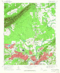
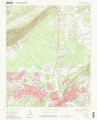
Editions of this 1967 Rome North Map
3 editions found
Other maps of this area

1886 · Rome
USGS Topo · 1:125,000

1898 · Rome
USGS Topo · 1:125,000

1899 · Rome
USGS Topo · 1:125,000

1904 · Rome
USGS Topo · 1:125,000

1955 · Rome
USGS Topo · 1:250,000

1958 · Rome
USGS Topo · 1:250,000

1961 · Rome
USGS Topo · 1:250,000

1963 · Rome
USGS Topo · 1:250,000
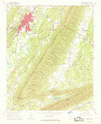
1967 · Summerville
USGS Topo · 1:24,000
1967 · Rock Mountain
USGS Topo · 1:24,000