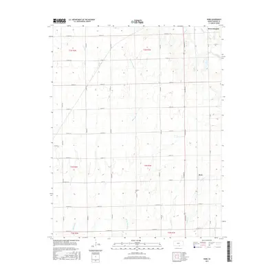
2015 Map of Rome
USGS Topo · Published 2015About this map
Rome sits at the heart of this agricultural landscape in southern Kansas, where a precise grid of rural roads such as S Tyler Rd and E 90th St S organizes the plains. The terrain is defined by the branching tributaries of the Shoo Fly Creek system, including W Shoo Fly Cr, Middle Shoo Fly Cr, and E Shoo Fly Cr. These waterways, along with others like Slate Cr and Spring Cr, create the subtle drainage patterns that have shaped local farming and land use for generations.
Find a feature on this map
45 named features on this map. Tap any name to fly to it.
Don’t see what you’re looking for? This feature index may not catch every label — zoom into the map to look around manually.
Map Details
Editions of this 2015 Rome Map
This is the sole edition of this map. No revisions or reprints were ever made.
Other maps of this area

1889 · Caldwell
USGS Topo · 1:125,000

1890 · Wellington
USGS Topo · 1:125,000

1893 · Caldwell
USGS Topo · 1:125,000

1897 · Caldwell
USGS Topo · 1:125,000

1955 · Wichita
USGS Topo · 1:250,000

1958 · Wichita
USGS Topo · 1:250,000

1964 · South Haven NE
USGS Topo · 1:24,000

1964 · Dalton
USGS Topo · 1:24,000

1965 · Portland
USGS Topo · 1:24,000

1965 · South Haven
USGS Topo · 1:24,000