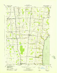
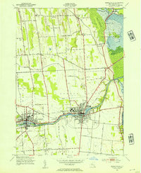
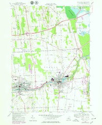
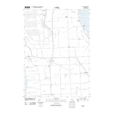
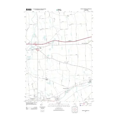
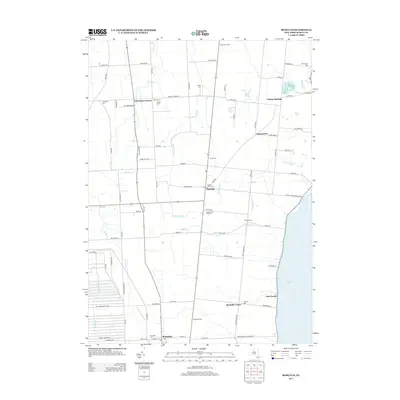
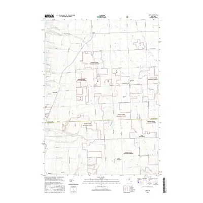
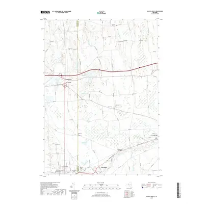
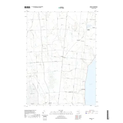
1943 Map of Romulus
USGS Topo · Published 1943About this map
The western shores of Cayuga Lake dominate the eastern edge of this 1943 survey, where a network of rural townships including Fayette, Varick, and Romulus define the landscape. Agricultural patterns are evident through numerous family-named landmarks and small settlements like Kuneytown, Kings Corners, and McDuffie Town. A significant portion of the southwestern quadrant is occupied by the United States Reservation, indicating the wartime mobilization of the era.
Find a feature on this map
61 named features on this map. Tap any name to fly to it.
Don’t see what you’re looking for? This feature index may not catch every label — zoom into the map to look around manually.
Map Details
Editions of this 1943 Romulus Map
This is the sole edition of this map. No revisions or reprints were ever made.
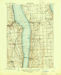
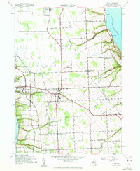
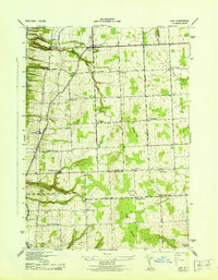
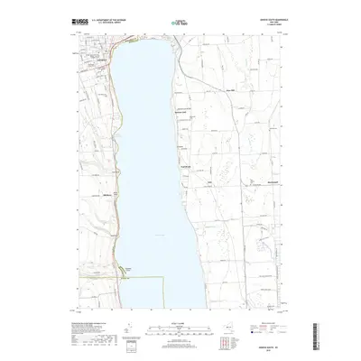
Historical Maps of Fayette Through Time
43 maps found
1902 Ovid
Seneca County, NY

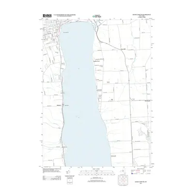
1942 Lodi
Seneca County, NY
1942 Ovid
Seneca County, NY

1943 Geneva North
Seneca County, NY

1943 Geneva South
Seneca County, NY
1943 Lodi
Seneca County, NY
1943 Romulus
Seneca County, NY
1943 Seneca Falls
Seneca County, NY
1953 Geneva North
Seneca County, NY
1953 Geneva South
Seneca County, NY
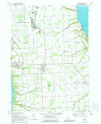
1953 Romulus
Seneca County, NY
1953 Seneca Falls
Seneca County, NY
1970 Ovid
Seneca County, NY
2010 Geneva North
Seneca County, NY
2010 Geneva South
Seneca County, NY
2010 Ovid
Seneca County, NY
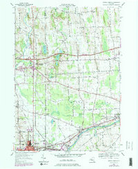
2010 Romulus
Seneca County, NY
2010 Seneca Falls
Seneca County, NY
2011 Lodi
Seneca County, NY
2013 Geneva North
Seneca County, NY
2013 Geneva South
Seneca County, NY
2013 Lodi
Seneca County, NY
2013 Ovid
Seneca County, NY
2013 Romulus
Seneca County, NY
2013 Seneca Falls
Seneca County, NY
2016 Geneva North
Seneca County, NY
2016 Geneva South
Seneca County, NY
2016 Lodi
Seneca County, NY
2016 Ovid
Seneca County, NY
2016 Romulus
Seneca County, NY
2016 Seneca Falls
Seneca County, NY
2019 Geneva North
Seneca County, NY
2019 Geneva South
Seneca County, NY
2019 Lodi
Seneca County, NY
2019 Ovid
Seneca County, NY
2019 Romulus
Seneca County, NY
2019 Seneca Falls
Seneca County, NY

2023 Geneva North
Seneca County, NY

2023 Geneva South
Seneca County, NY

2023 Lodi
Seneca County, NY

2023 Ovid
Seneca County, NY

2023 Romulus
Seneca County, NY

2023 Seneca Falls
Seneca County, NY