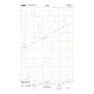
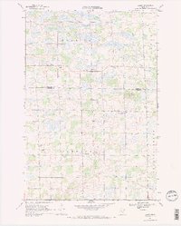
2010 Map of Ronneby
USGS Topo · Published 2010About this map
Ronneby and Oak Park anchor this portion of Benton County, situated within a landscape defined by the branching waters of the Saint Francis River. In the early 21st century, the area maintains a primarily rural character, with a grid of local roads like Ronneby Rd and County Hwy 67 connecting scattered farmsteads and residential clusters. The terrain is notably marked by several burial sites that serve as vital links for local genealogy, including Riverside Cemetery near the riverbanks and Elwell Cemetery to the north. The West Branch Saint Francis River meanders through the western section, while Estes Brook drains the northeastern corner, illustrating the intricate hydrography of the region. This survey captures the transition of the local infrastructure as it stood before more recent developmental shifts in central Minnesota.
Find a feature on this map
46 named features on this map. Tap any name to fly to it.
Don’t see what you’re looking for? This feature index may not catch every label — zoom into the map to look around manually.
Map Details
Editions of this 2010 Ronneby Map
This is the sole edition of this map. No revisions or reprints were ever made.
Other maps of this area

1953 · Stillwater
USGS Topo · 1:250,000

1955 · Stillwater
USGS Topo · 1:250,000

1958 · Stillwater
USGS Topo · 1:250,000

1965 · Stillwater
USGS Topo · 1:250,000
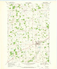
1968 · Foley
USGS Topo · 1:24,000

1968 · Rum River
USGS Topo · 1:24,000
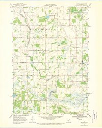
1968 · Santiago
USGS Topo · 1:24,000
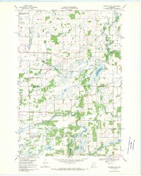
1968 · Princeton SW
USGS Topo · 1:24,000
1968 · Ramey
USGS Topo · 1:24,000

1968 · Milaca
USGS Topo · 1:24,000