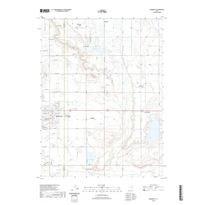
2020 Map of Roosevelt
USGS Topo · Published 2020About this map
The city of Roosevelt serves as the primary urban center for this portion of the Uintah Basin, situated at the border of Duchesne and Uintah counties. This modern survey reflects the significant local infrastructure supporting the community, including the Uintah Basin Applied Technology College and the Duchesne County Court House. The surrounding landscape is characterized by a complex network of agricultural irrigation, with numerous channels such as Blackhawk Canal, Harding Lateral, and the State Road Lateral feeding the area from water sources like the Montes Creek Reservoir. Settlement extends eastward into the town of Ballard, while the northern reaches of the map transition into the high plateaus of Nephi Bench and Blackhawk Bench, illustrating the region's historical reliance on managed water systems to sustain its development.
Find a feature on this map
65 named features on this map. Tap any name to fly to it.
Don’t see what you’re looking for? This feature index may not catch every label — zoom into the map to look around manually.
Map Details
Editions of this 2020 Roosevelt Map
This is the sole edition of this map. No revisions or reprints were ever made.
Other maps of this area

1885 · Ashley
USGS Topo · 1:250,000

1885 · Uinta
USGS Topo · 1:250,000

1917 · Vernal
USGS Topo · 1:125,000

1939 · Duchesne
USGS Topo · 1:125,000

1954 · Salt Lake City
USGS Topo · 1:250,000

1954 · Vernal
USGS Topo · 1:250,000

1958 · Vernal
USGS Topo · 1:250,000

1958 · Salt Lake City
USGS Topo · 1:250,000

1960 · Salt Lake City
USGS Topo · 1:250,000

1960 · Vernal
USGS Topo · 1:250,000