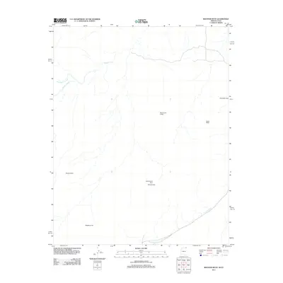
2011 Map of Rooster Rock
USGS Topo · Published 2011About this map
Monument Valley defines this arid landscape straddling the Arizona-Utah border, where towering geological formations and natural stone spans dominate the horizon. In the early 21st century, this area of Apache County remains characterized by its stark, wind-sculpted features, including the namesake Rooster Rock and the prominent Yazzie Mesa to the northeast. The drainage patterns of Gypsum Creek and West Gypsum Creek carve through the high desert floor, illustrating the water-driven erosion that has shaped these canyons over millennia.
Find a feature on this map
10 named features on this map. Tap any name to fly to it.
Don’t see what you’re looking for? This feature index may not catch every label — zoom into the map to look around manually.
Map Details
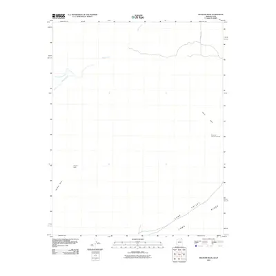
Editions of this 2011 Rooster Rock Map
2 editions found
Other maps of this area

1883 · Marsh Pass
USGS Topo · 1:250,000

1886 · Henry Mountains
USGS Topo · 1:250,000

1886 · Abajo
USGS Topo · 1:250,000

1892 · Marsh Pass
USGS Topo · 1:250,000

1892 · Abajo
USGS Topo · 1:250,000

1892 · Henry Mountains
USGS Topo · 1:250,000

1892 · Canyon De Chelly
USGS Topo · 1:250,000

1893 · Abajo
USGS Topo · 1:250,000

1952 · Bluff 3 SE
USGS Topo · 1:24,000

1952 · Dinnehotso
USGS Topo · 1:62,500