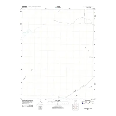
2011 Map of Rooster Rock
USGS Topo · Published 2011About this map
Comb Ridge and the broad expanse of Cane Valley dominate the southeastern portion of this landscape on the Arizona-Utah border. The terrain is defined by dramatic geological formations, including the distinctive Rooster Rock and Meridian Butte which rise from the desert floor. To the northeast, the presence of the Monument Number Two Tunnel near Yazzie Mesa suggests the region's history with resource extraction. This area is characterized by a network of seasonal watercourses such as Gypsum Creek and West Gypsum Creek, with infrastructure limited to remote routes like Indian Rte 6440 providing access through the high desert environment.
Find a feature on this map
10 named features on this map. Tap any name to fly to it.
Don’t see what you’re looking for? This feature index may not catch every label — zoom into the map to look around manually.
Map Details
Editions of this 2011 Rooster Rock Map
2 editions found
Other maps of this area

1883 · Marsh Pass
USGS Topo · 1:250,000

1886 · Henry Mountains
USGS Topo · 1:250,000

1886 · Abajo
USGS Topo · 1:250,000

1892 · Marsh Pass
USGS Topo · 1:250,000

1892 · Abajo
USGS Topo · 1:250,000

1892 · Henry Mountains
USGS Topo · 1:250,000

1892 · Canyon De Chelly
USGS Topo · 1:250,000

1893 · Abajo
USGS Topo · 1:250,000

1952 · Bluff 3 SE
USGS Topo · 1:24,000

1952 · Dinnehotso
USGS Topo · 1:62,500