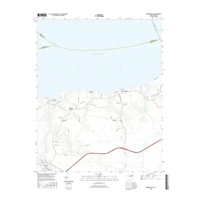
2016 Map of Roper North
USGS Topo · Published 2016About this map
Roper and its agricultural surroundings near the Albemarle Sound are captured in this mid-2010s survey, illustrating a landscape defined by water and drainage. The town of Roper serves as a hub in the southwestern corner, situated near Kendrick Creek and the Main Canal. Northward, the map follows the low-lying shoreline along the Atlantic Ocean, where waterfront settlements like Mackeys, Batemans Beach, and Skinnersville dot the coast.
Find a feature on this map
55 named features on this map. Tap any name to fly to it.
Don’t see what you’re looking for? This feature index may not catch every label — zoom into the map to look around manually.
Map Details
Editions of this 2016 Roper North Map
This is the sole edition of this map. No revisions or reprints were ever made.
Other maps of this area

1904 · Edenton
USGS Topo · 1:62,500

1906 · Hertford
USGS Topo · 1:62,500

1940 · Hertford
USGS Topo · 1:62,500

1942 · Edenton
USGS Topo · 1:62,500

1943 · Columbia
USGS Topo · 1:125,000

1943 · Plymouth
USGS Topo · 1:125,000

1943 · Edenton
USGS Topo · 1:62,500

1953 · Norfolk
USGS Topo · 1:250,000

1953 · Rocky Mount
USGS Topo · 1:250,000

1954 · Rocky Mount
USGS Topo · 1:250,000