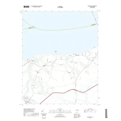
2019 Map of Roper North
USGS Topo · Published 2019About this map
The low-lying coastal plains of Washington County meet the Albemarle Sound near Skinnersville and Batemans Beach in this 2019 survey. The town of Roper occupies the southwestern corner of the sheet, where Kendrick Creek and the Main Canal provide critical drainage for the surrounding marshlands and agricultural fields. This area is defined by its intricate network of small waterways, such as Whites Cr and Old Mill Cr, which have historically influenced the location of settlements like Beasley and Blount.
Find a feature on this map
55 named features on this map. Tap any name to fly to it.
Don’t see what you’re looking for? This feature index may not catch every label — zoom into the map to look around manually.
Map Details
Editions of this 2019 Roper North Map
This is the sole edition of this map. No revisions or reprints were ever made.
Other maps of this area

1904 · Edenton
USGS Topo · 1:62,500

1906 · Hertford
USGS Topo · 1:62,500

1940 · Hertford
USGS Topo · 1:62,500

1942 · Edenton
USGS Topo · 1:62,500

1943 · Columbia
USGS Topo · 1:125,000

1943 · Plymouth
USGS Topo · 1:125,000

1943 · Edenton
USGS Topo · 1:62,500

1953 · Norfolk
USGS Topo · 1:250,000

1953 · Rocky Mount
USGS Topo · 1:250,000

1954 · Rocky Mount
USGS Topo · 1:250,000