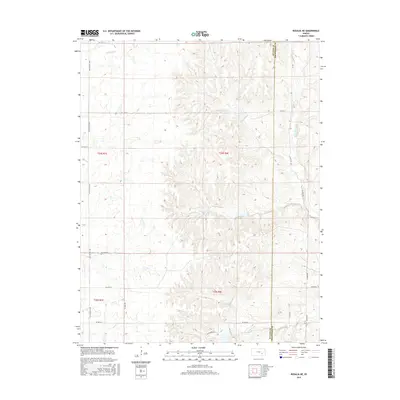
2015 Map of Rosalia NE
USGS Topo · Published 2015About this map
W Br Fall River and Hog Cr define the drainage patterns of this rural landscape on the border of Butler and Greenwood counties. This 2015 survey reveals a terrain dominated by the complex watershed of the Flint Hills region, where numerous named creeks like Durechen Cr and Ivanpah Cr have carved distinct valleys through the limestone-rich uplands. The human footprint is recorded through a rigid grid of section-line roads, including NE Flinthills Rd and NE Ivanpah Rd, which cut across the natural topography. The lack of concentrated settlements highlights the area's ongoing character as open ranchland and prairie. Local-history researchers can trace the connectivity of these remote corridors, such as Salyard Rd, as they navigate the watershed between Satchel Cr and Bemis Cr.
Find a feature on this map
27 named features on this map. Tap any name to fly to it.
Don’t see what you’re looking for? This feature index may not catch every label — zoom into the map to look around manually.
Map Details
Editions of this 2015 Rosalia NE Map
This is the sole edition of this map. No revisions or reprints were ever made.
Other maps of this area

1885 · Eureka
USGS Topo · 1:125,000

1888 · Emporia
USGS Topo · 1:125,000

1888 · Eureka
USGS Topo · 1:125,000

1888 · Eldorado
USGS Topo · 1:125,000

1894 · Emporia
USGS Topo · 1:125,000

1894 · Eureka
USGS Topo · 1:125,000

1898 · Cottonwood Falls
USGS Topo · 1:125,000

1955 · Wichita
USGS Topo · 1:250,000

1955 · Hutchinson
USGS Topo · 1:250,000

1958 · Wichita
USGS Topo · 1:250,000