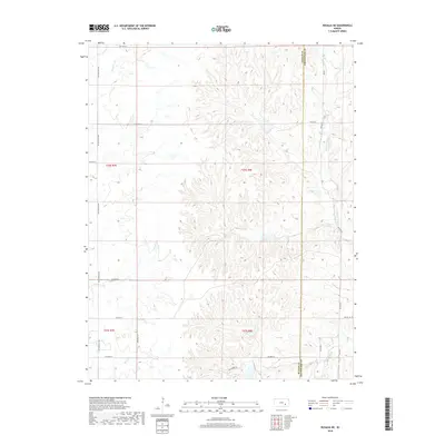
2018 Map of Rosalia NE
USGS Topo · Published 2018About this map
The W Br Fall River flows through the eastern portion of this landscape on the Butler Co Greenwood Co line, carving a drainage system that defines the local topography. This 2018 survey reveals a sparse, rural pattern of settlement dominated by a regular grid of section roads like NE Flinthills Rd and NE 120th St. The terrain is characterized by numerous small tributaries, including Hog Cr, Satchel Cr, and Cat Cr, which suggest a land primarily utilized for large-scale ranching or agriculture in the Flint Hills region.
Find a feature on this map
28 named features on this map. Tap any name to fly to it.
Don’t see what you’re looking for? This feature index may not catch every label — zoom into the map to look around manually.
Map Details
Editions of this 2018 Rosalia NE Map
This is the sole edition of this map. No revisions or reprints were ever made.
Other maps of this area

1885 · Eureka
USGS Topo · 1:125,000

1888 · Emporia
USGS Topo · 1:125,000

1888 · Eureka
USGS Topo · 1:125,000

1888 · Eldorado
USGS Topo · 1:125,000

1894 · Emporia
USGS Topo · 1:125,000

1894 · Eureka
USGS Topo · 1:125,000

1898 · Cottonwood Falls
USGS Topo · 1:125,000

1955 · Wichita
USGS Topo · 1:250,000

1955 · Hutchinson
USGS Topo · 1:250,000

1958 · Wichita
USGS Topo · 1:250,000