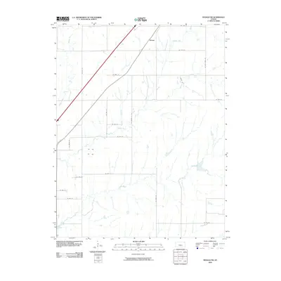
2009 Map of Rosalia NW
USGS Topo · Published 2009About this map
Aikman occupies a central position in this prairie landscape of eastern Butler County, situated where early twentieth-century rail lines once shaped the development of rural Kansas. The terrain is defined by the branching drainages of the Walnut River, which meanders through the western section of the quadrangle, and the eastward flow of Durechen Creek and Satchel Creek. This 2009 survey reveals a highly organized township grid system, where long-established country roads like NE Munson Hill Rd and NE Stony Creek Rd provide access to the intermittent watercourses and agricultural tracts. The map illustrates a transition in land use, showing how named thoroughfares such as Sunkist Rd and NE Price Rd continue to segment the open country, maintaining the rural character of the region long after the heyday of small railroad stops like Aikman.
Find a feature on this map
24 named features on this map. Tap any name to fly to it.
Don’t see what you’re looking for? This feature index may not catch every label — zoom into the map to look around manually.
Map Details
Editions of this 2009 Rosalia NW Map
This is the sole edition of this map. No revisions or reprints were ever made.
Other maps of this area

1888 · Eldorado
USGS Topo · 1:125,000

1898 · Cottonwood Falls
USGS Topo · 1:125,000

1955 · Wichita
USGS Topo · 1:250,000

1955 · Hutchinson
USGS Topo · 1:250,000

1958 · Wichita
USGS Topo · 1:250,000

1959 · Hutchinson
USGS Topo · 1:250,000

1961 · Pontiac
USGS Topo · 1:24,000

1961 · De Graff
USGS Topo · 1:24,000

1961 · Rosalia NE
USGS Topo · 1:24,000

1961 · El Dorado
USGS Topo · 1:24,000