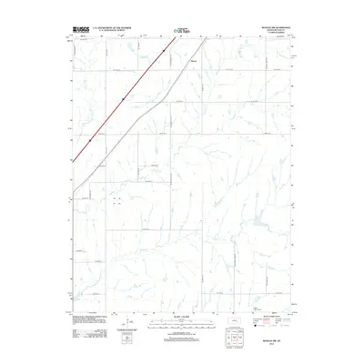
2012 Map of Rosalia NW
USGS Topo · Published 2012About this map
Aikman sits near the northern boundary of this central Kansas landscape, a region defined by its creek-fed drainage patterns and structured agricultural grid. The terrain is deeply inscribed by Satchel Cr, Durechen Cr, and the Walnut River, which carve subtle paths through the sections. These watercourses dictate the placement of local thoroughfares like NE Satchell Creek Rd and NE Stony Creek Rd. In the southern portion of the map, Foster Field Airport represents a modern point of interest amidst the predominantly rural landscape. The map captures the area before significant urban expansion, showing the intersection of local transport routes like NE Munson Hill Rd with the wider state and interstate networks that bisect the prairie.
Find a feature on this map
24 named features on this map. Tap any name to fly to it.
Don’t see what you’re looking for? This feature index may not catch every label — zoom into the map to look around manually.
Map Details
Editions of this 2012 Rosalia NW Map
This is the sole edition of this map. No revisions or reprints were ever made.
Other maps of this area

1888 · Eldorado
USGS Topo · 1:125,000

1898 · Cottonwood Falls
USGS Topo · 1:125,000

1955 · Wichita
USGS Topo · 1:250,000

1955 · Hutchinson
USGS Topo · 1:250,000

1958 · Wichita
USGS Topo · 1:250,000

1959 · Hutchinson
USGS Topo · 1:250,000

1961 · Pontiac
USGS Topo · 1:24,000

1961 · De Graff
USGS Topo · 1:24,000

1961 · Rosalia NE
USGS Topo · 1:24,000

1961 · El Dorado
USGS Topo · 1:24,000