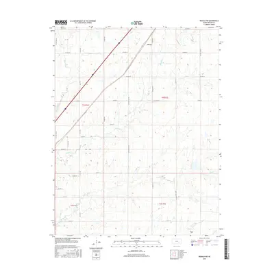
2015 Map of Rosalia NW
USGS Topo · Published 2015About this map
Aikman stands along a diagonal transport corridor in this 2015 layout of northern Butler County. The landscape is defined by the drainage basins of the Walnut River, which meanders through the northwest, and Durechen Cr, which cuts across the central township. The terrain transition between the upland plateaus and the creek bottoms is traced by an extensive network of rural routes, including NE Munson Hill Rd and NE Satchell Creek Rd. This survey documents the intersection of modern infrastructure with historical land divisions, such as those found in t24s r7e and t25s r6e. In the southern portion of the quadrangle, Foster Field and the headwaters of Bemis Cr mark the local topography, while Satchel Cr flows eastward through the lower sections of the map.
Find a feature on this map
68 named features on this map. Tap any name to fly to it.
Don’t see what you’re looking for? This feature index may not catch every label — zoom into the map to look around manually.
Map Details
Editions of this 2015 Rosalia NW Map
This is the sole edition of this map. No revisions or reprints were ever made.
Other maps of this area

1888 · Eldorado
USGS Topo · 1:125,000

1898 · Cottonwood Falls
USGS Topo · 1:125,000

1955 · Wichita
USGS Topo · 1:250,000

1955 · Hutchinson
USGS Topo · 1:250,000

1958 · Wichita
USGS Topo · 1:250,000

1959 · Hutchinson
USGS Topo · 1:250,000

1961 · Pontiac
USGS Topo · 1:24,000

1961 · De Graff
USGS Topo · 1:24,000

1961 · Rosalia NE
USGS Topo · 1:24,000

1961 · El Dorado
USGS Topo · 1:24,000