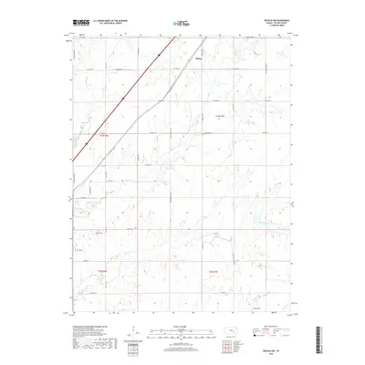
2018 Map of Rosalia NW
USGS Topo · Published 2018About this map
Aikman remains the primary named locality in this corner of Butler County, situated along the diagonal route of the rail line and bisected by NE Grant Rd. The landscape is defined by the dendritic drainage patterns of the Walnut River and its tributaries, including Durechen Creek and Satchel Creek. These waterways carve through the terrain, creating the distinct elevation contours that characterize the Flint Hills region of Kansas.
Find a feature on this map
33 named features on this map. Tap any name to fly to it.
Don’t see what you’re looking for? This feature index may not catch every label — zoom into the map to look around manually.
Map Details
Editions of this 2018 Rosalia NW Map
This is the sole edition of this map. No revisions or reprints were ever made.
Other maps of this area

1888 · Eldorado
USGS Topo · 1:125,000

1898 · Cottonwood Falls
USGS Topo · 1:125,000

1955 · Wichita
USGS Topo · 1:250,000

1955 · Hutchinson
USGS Topo · 1:250,000

1958 · Wichita
USGS Topo · 1:250,000

1959 · Hutchinson
USGS Topo · 1:250,000

1961 · Pontiac
USGS Topo · 1:24,000

1961 · De Graff
USGS Topo · 1:24,000

1961 · Rosalia NE
USGS Topo · 1:24,000

1961 · El Dorado
USGS Topo · 1:24,000