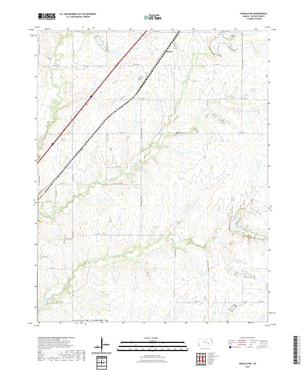
2022 Map of Rosalia NW
USGS Topo · Published 2022About this map
Aikman sits at the northern edge of this Kansas landscape, a small point of settlement in a region defined by its winding drainage systems. The Walnut River cuts through the northwest corner, while the interior is carved by the converging paths of Durechen Creek and Satchel Creek. This 2022 survey illustrates a classic prairie section-line grid, where roads like De Graff Rd and NE Munson Hill Rd trace the legal boundaries established during the original land surveys of the nineteenth century. The terrain is notably etched by numerous small tributaries and seasonal draws such as Bemis Cr, showing how the local topography has resisted the strict geometry of the road network. Genealogists and local historians can use the named thoroughfares, including NE Stony Creek Rd, to pinpoint specific family landholdings across the townships.
Find a feature on this map
33 named features on this map. Tap any name to fly to it.
Don’t see what you’re looking for? This feature index may not catch every label — zoom into the map to look around manually.
Map Details
Editions of this 2022 Rosalia NW Map
This is the sole edition of this map. No revisions or reprints were ever made.
Other maps of this area

1888 · Eldorado
USGS Topo · 1:125,000

1898 · Cottonwood Falls
USGS Topo · 1:125,000

1955 · Wichita
USGS Topo · 1:250,000

1955 · Hutchinson
USGS Topo · 1:250,000

1958 · Wichita
USGS Topo · 1:250,000

1959 · Hutchinson
USGS Topo · 1:250,000

1961 · Pontiac
USGS Topo · 1:24,000

1961 · De Graff
USGS Topo · 1:24,000

1961 · Rosalia NE
USGS Topo · 1:24,000

1961 · El Dorado
USGS Topo · 1:24,000