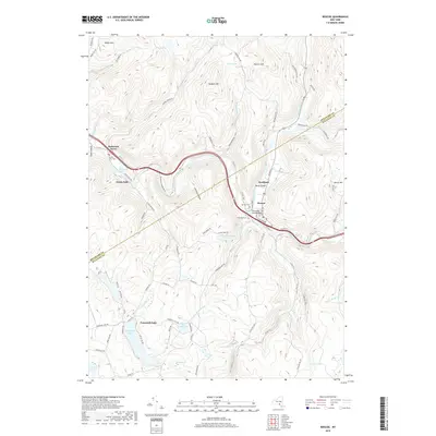
2019 Map of Roscoe
USGS Topo · Published 2019About this map
The confluence of the Beaver Kill and Willowemoc Creek defines the landscape of this Sullivan County region, centered on the village of Roscoe. Long celebrated as a destination for anglers, the area's geography is marked by steep ridges and winding river valleys. The northern portion of the map follows the winding path of the Beaver Kill past Rockland and Cooks Falls, where the Beaverkill Road Bridge and Bendo Bridge provide critical crossings. South of the main river corridor, the terrain rises toward heights like Rodgers Hill and Morton Hill, eventually giving way to the waters of Tennanah Lake and Lake Florence. For those tracing local heritage, the map identifies several burial grounds including Riverview Cem, Bon Air Cem, and Cooks Falls Cem. This document reflects a modern landscape where historical settlements like Butternut Grove remain integrated with the natural hydrography of the Catskill foothills.
Find a feature on this map
88 named features on this map. Tap any name to fly to it.
Don’t see what you’re looking for? This feature index may not catch every label — zoom into the map to look around manually.
Map Details
Editions of this 2019 Roscoe Map
This is the sole edition of this map. No revisions or reprints were ever made.
Other maps of this area

1920 · Long Eddy
USGS Topo · 1:62,500

1921 · Long Eddy
USGS Topo · 1:48,000

1921 · Livingston Manor
USGS Topo · 1:62,500

1922 · Andes
USGS Topo · 1:62,500

1923 · Long Eddy
USGS Topo · 1:62,500

1923 · Walton
USGS Topo · 1:48,000

1923 · Livingston Manor
USGS Topo · 1:62,500

1924 · Andes
USGS Topo · 1:62,500

1925 · Walton
USGS Topo · 1:62,500

1943 · Honesdale
USGS Topo · 1:125,000