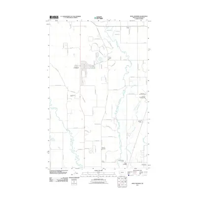
2011 Map of Rose Crossing
USGS Topo · Published 2011About this map
The confluence of the Stillwater River and Whitefish River defines the landscape of this Flathead County region. The map captures a moment of modern development and regional infrastructure, prominently featuring the Glacier Park International Airport and its dedicated fire station. Settlement patterns are largely rural-residential, centered around the named crossing at Rose Crossing and the community gathering point at Midway Grange.
Find a feature on this map
78 named features on this map. Tap any name to fly to it.
Don’t see what you’re looking for? This feature index may not catch every label — zoom into the map to look around manually.
Map Details
Editions of this 2011 Rose Crossing Map
This is the sole edition of this map. No revisions or reprints were ever made.
Other maps of this area

1943 · Kalispell
USGS Topo · 1:125,000

1957 · Kalispell
USGS Topo · 1:250,000

1960 · Kalispell
USGS Topo · 1:250,000

1961 · Kalispell
USGS Topo · 1:250,000

1962 · Columbia Falls South
USGS Topo · 1:24,000

1962 · Rose Crossing
USGS Topo · 1:24,000

1962 · Blue Grass Ridge
USGS Topo · 1:24,000

1962 · Beaver Lake
USGS Topo · 1:24,000

1962 · Creston
USGS Topo · 1:24,000

1962 · Rhodes
USGS Topo · 1:24,000