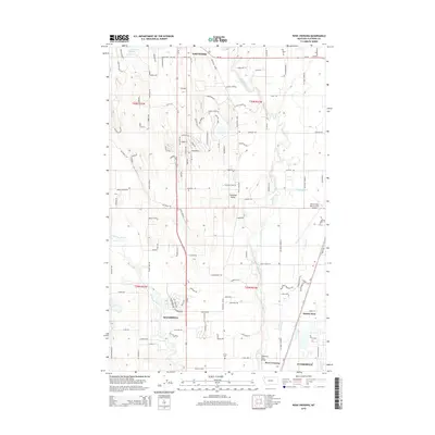
2014 Map of Rose Crossing
USGS Topo · Published 2014About this map
Flathead Valley provides the setting for this detailed survey of the corridor between Whitefish and Kalispell. The Whitefish River and Stillwater River dominate the drainage of this landscape, with the former crossed by the Whitefish River Bridge near the settlement of Rose Crossing. This region is characterized by a mix of agricultural plots and expanding residential roads, such as Wagon Wheel Rd and Rocking Horse, which illustrate the modern footprint of these Montana communities.
Find a feature on this map
118 named features on this map. Tap any name to fly to it.
Don’t see what you’re looking for? This feature index may not catch every label — zoom into the map to look around manually.
Map Details
Editions of this 2014 Rose Crossing Map
This is the sole edition of this map. No revisions or reprints were ever made.
Other maps of this area

1943 · Kalispell
USGS Topo · 1:125,000

1957 · Kalispell
USGS Topo · 1:250,000

1960 · Kalispell
USGS Topo · 1:250,000

1961 · Kalispell
USGS Topo · 1:250,000

1962 · Columbia Falls South
USGS Topo · 1:24,000

1962 · Rose Crossing
USGS Topo · 1:24,000

1962 · Blue Grass Ridge
USGS Topo · 1:24,000

1962 · Beaver Lake
USGS Topo · 1:24,000

1962 · Creston
USGS Topo · 1:24,000

1962 · Rhodes
USGS Topo · 1:24,000