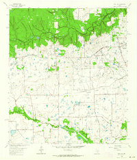
1962 Map of Rose Hill
USGS Topo · Published 1964About this map
Rose Hill and Tomball anchor this mid-century portrait of northern Harris County, where the transition from rural ranching to early industrialization is evident in the landscape. The northern boundary is defined by the winding course of Spring Creek, separating Harris and Montgomery Counties. To the south, the terrain levels out into the Willow Flats, drained by Willow Creek and Little Cypress Creek. The local economy of the early 1960s is reflected in a scatter of specialized infrastructure, including a Refinery, multiple Gas Well sites, and several Sludge Pit locations.
Find a feature on this map
38 named features on this map. Tap any name to fly to it.
Don’t see what you’re looking for? This feature index may not catch every label — zoom into the map to look around manually.
Map Details
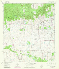
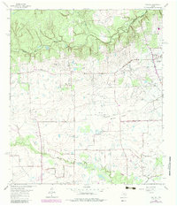
Editions of this 1962 Rose Hill Map
3 editions found
Other maps of this area

1915 · Cypress
USGS Topo · 1:24,000

1916 · Rose Hill
USGS Topo · 1:24,000

1916 · Louetta
USGS Topo · 1:24,000

1916 · Hockley
USGS Topo · 1:24,000

1916 · Satsuma
USGS Topo · 1:24,000

1916 · Swanson
USGS Topo · 1:24,000

1918 · Cypress
USGS Topo · 1:31,680

1919 · Swanson
USGS Topo · 1:31,680

1920 · Hockley
USGS Topo · 1:31,680

1920 · Rose Hill
USGS Topo · 1:31,680