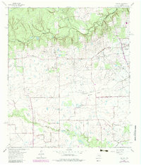
1962 Map of Rose Hill
USGS Topo · Published 1980About this map
Spring Creek meanders along the northern boundary of this 1962 landscape, marking the transition between Montgomery and Harris counties. The area is defined by a traditional rural settlement pattern centered on Rose Hill, where family histories are preserved at the Rose Hill Cem and nearby St John Ch. While the town of Tomball appears on the eastern edge with its Elementary School and Refinery, much of the quadrangle consists of open land cut by Willow Creek and Little Cypress Creek. The presence of numerous gas wells and sludge pits indicates the early industrial footprint of the region's petroleum sector, even as agricultural landmarks like the Letter M Ranch and small family burial grounds like Zahn Cem and Baker Cem remain prominent features of the terrain.
Find a feature on this map
42 named features on this map. Tap any name to fly to it.
Don’t see what you’re looking for? This feature index may not catch every label — zoom into the map to look around manually.
Map Details
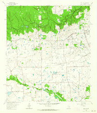
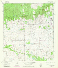
Editions of this 1962 Rose Hill Map
3 editions found
Other maps of this area

1915 · Cypress
USGS Topo · 1:24,000

1916 · Rose Hill
USGS Topo · 1:24,000

1916 · Louetta
USGS Topo · 1:24,000

1916 · Hockley
USGS Topo · 1:24,000

1916 · Satsuma
USGS Topo · 1:24,000

1916 · Swanson
USGS Topo · 1:24,000

1918 · Cypress
USGS Topo · 1:31,680

1919 · Swanson
USGS Topo · 1:31,680

1920 · Hockley
USGS Topo · 1:31,680

1920 · Rose Hill
USGS Topo · 1:31,680