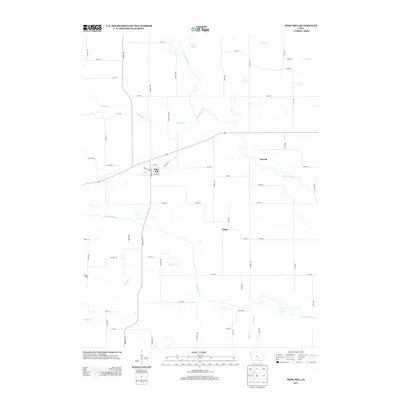
2013 Map of Rose Hill
USGS Topo · Published 2013About this map
Rose Hill serves as the central hub of this Mahaska County landscape, where a grid of rural roads meets the diagonal path of Old Hwy 92. The geography is defined by the winding courses of the N Skunk River and S Skunk River, which create a complex drainage system fed by numerous tributaries including Middle Cr, Snyder Cr, and Cedar Cr. Small settlements like Atwood and Tioga are situated among these waterways, reflecting the historical township patterns of southeastern Iowa.
Find a feature on this map
54 named features on this map. Tap any name to fly to it.
Don’t see what you’re looking for? This feature index may not catch every label — zoom into the map to look around manually.
Map Details
Editions of this 2013 Rose Hill Map
This is the sole edition of this map. No revisions or reprints were ever made.
Other maps of this area

1954 · Des Moines
USGS Topo · 1:250,000

1956 · Des Moines
USGS Topo · 1:250,000

1956 · Ottumwa North
USGS Topo · 1:62,500

1957 · Des Moines
USGS Topo · 1:250,000

1965 · Gibson
USGS Topo · 1:24,000

1965 · Rose Hill
USGS Topo · 1:24,000

1965 · What Cheer
USGS Topo · 1:24,000

1965 · Delta
USGS Topo · 1:24,000

1968 · University Park
USGS Topo · 1:24,000

1968 · Kirkville
USGS Topo · 1:24,000