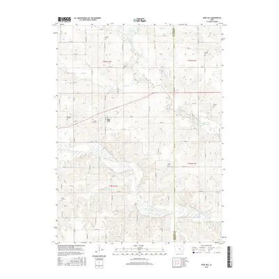
2015 Map of Rose Hill
USGS Topo · Published 2015About this map
The North Skunk River and South Skunk River converge in this section of southeastern Iowa, defining a landscape of alluvial bottoms and prairie uplands. The settlement of Rose Hill serves as the central hub, surrounded by a dense network of country roads like 210th St and 240th St. For the local historian, this survey is particularly valuable for its documentation of numerous rural burial grounds, including the Old Rose Hill Cem, Tioga Cem, and Bedwell Cem, which are scattered across the township lines of t76n r14w and t75n r14w. Small waterways such as Middle Cr, Snyder Cr, and Mattix Br drain the territory, while Goose Lake sits in the northern reaches near the boundary of Mahaska Co Keokuk Co. The map illustrates the persistent 19th-century grid system and the placement of family-named landmarks that continue to shape the geography of the Skunk River valley.
Find a feature on this map
38 named features on this map. Tap any name to fly to it.
Don’t see what you’re looking for? This feature index may not catch every label — zoom into the map to look around manually.
Map Details
Editions of this 2015 Rose Hill Map
This is the sole edition of this map. No revisions or reprints were ever made.
Other maps of this area

1954 · Des Moines
USGS Topo · 1:250,000

1956 · Des Moines
USGS Topo · 1:250,000

1956 · Ottumwa North
USGS Topo · 1:62,500

1957 · Des Moines
USGS Topo · 1:250,000

1965 · Gibson
USGS Topo · 1:24,000

1965 · Rose Hill
USGS Topo · 1:24,000

1965 · What Cheer
USGS Topo · 1:24,000

1965 · Delta
USGS Topo · 1:24,000

1968 · University Park
USGS Topo · 1:24,000

1968 · Kirkville
USGS Topo · 1:24,000