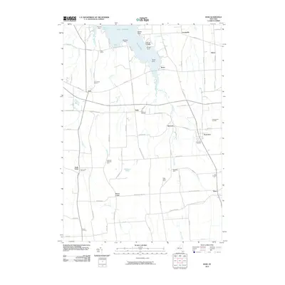
2010 Map of Rose
USGS Topo · Published 2010About this map
Sodus Bay and the shoreline of Lake Ontario dominate the northern edge of this Wayne County landscape, where the agricultural character of the region is punctuated by several small communities and historic family-named locations. Significant landholdings and farmsteads such as Alasa Farms, Rockland Orchards Farm, and Rosedale Farm suggest a long-standing tradition of fruit production and general farming in the area surrounding Alton and North Rose. The interior terrain is defined by a series of north-flowing waterways, including First Creek, Second Creek, and Sodus Creek, which wind through a patchwork of rural roads and wetland areas like Huckleberry Swamp.
Find a feature on this map
80 named features on this map. Tap any name to fly to it.
Don’t see what you’re looking for? This feature index may not catch every label — zoom into the map to look around manually.
Map Details
Editions of this 2010 Rose Map
This is the sole edition of this map. No revisions or reprints were ever made.
Other maps of this area

1899 · Palmyra
USGS Topo · 1:62,500

1902 · Sodus Bay
USGS Topo · 1:62,500

1902 · Pultneyville
USGS Topo · 1:62,500

1902 · Clyde
USGS Topo · 1:62,500

1902 · Palmyra
USGS Topo · 1:62,500

1943 · Lyons
USGS Topo · 1:31,680

1943 · Sodus Point
USGS Topo · 1:31,680

1943 · Savannah
USGS Topo · 1:31,680

1943 · Sodus
USGS Topo · 1:31,680

1943 · Wolcott
USGS Topo · 1:31,680