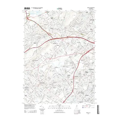
2014 Map of Roselle
USGS Topo · Published 2014About this map
Newark and its western suburbs appear in high detail during the early 21st century, revealing a dense landscape of residential growth and critical infrastructure. The Rahway River and its various branches, including the East Branch Rahway River and Nomahegan Brook, weave through the region, punctuated by significant water management features like Canoe Brook Reservoir Number 1 and Canoe Brook Reservoir Number 2. These waterways are flanked by numerous parks and conservation areas, such as Echo Lake and the slopes of Watchung Mountain.
Find a feature on this map
71 named features on this map. Tap any name to fly to it.
Don’t see what you’re looking for? This feature index may not catch every label — zoom into the map to look around manually.
Map Details
Editions of this 2014 Roselle Map
This is the sole edition of this map. No revisions or reprints were ever made.
Other maps of this area

1888 · Plainfield
USGS Topo · 1:62,500

1888 · Morristown
USGS Topo · 1:62,500

1888 · Paterson
USGS Topo · 1:62,500

1892 · Paterson
USGS Topo · 1:62,500

1893 · Plainfield
USGS Topo · 1:62,500

1894 · Morristown
USGS Topo · 1:62,500

1898 · Morristown
USGS Topo · 1:62,500

1898 · Plainfield
USGS Topo · 1:62,500

1898 · Staten Island
USGS Topo · 1:62,500

1898 · Paterson
USGS Topo · 1:62,500