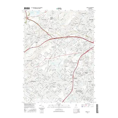
2016 Map of Roselle
USGS Topo · Published 2016About this map
Summit and Westfield anchor this densely settled corridor of northern New Jersey, where the suburban landscape is defined by its deep historical roots and a complex network of waterways. The topography shifts from the rising elevations of First Watchung Mtn to the lowlands surrounding Echo Lake and the Rahway River. Significant historical sites include the Revolutionary Cem and the Saint Stephens Cem, marking generations of local heritage. The region's development is closely tied to its transit infrastructure, with prominent rail connections at Cranford Junction and Staten Island Junction facilitating movement through the urban centers of Roselle and Roselle Park.
Find a feature on this map
67 named features on this map. Tap any name to fly to it.
Don’t see what you’re looking for? This feature index may not catch every label — zoom into the map to look around manually.
Map Details
Editions of this 2016 Roselle Map
This is the sole edition of this map. No revisions or reprints were ever made.
Other maps of this area

1888 · Plainfield
USGS Topo · 1:62,500

1888 · Morristown
USGS Topo · 1:62,500

1888 · Paterson
USGS Topo · 1:62,500

1892 · Paterson
USGS Topo · 1:62,500

1893 · Plainfield
USGS Topo · 1:62,500

1894 · Morristown
USGS Topo · 1:62,500

1898 · Morristown
USGS Topo · 1:62,500

1898 · Plainfield
USGS Topo · 1:62,500

1898 · Staten Island
USGS Topo · 1:62,500

1898 · Paterson
USGS Topo · 1:62,500