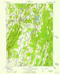
1942 Map of Rosendale
USGS Topo · Published 1957About this map
Rondout Creek and the Wallkill River converge in this mid-century portrait of Ulster County's industrial and agricultural heart. The landscape is defined by the legacy of the Delaware and Hudson Canal and the operations of the Century Cement Company, which utilized the local limestone deposits. Settlement patterns are densely clustered around centers like Rosendale, Tillson, and High Falls, while family farms such as the Greger Farm and Mollenhauer Farm dot the more open southern reaches.
Find a feature on this map
59 named features on this map. Tap any name to fly to it.
Don’t see what you’re looking for? This feature index may not catch every label — zoom into the map to look around manually.
Map Details
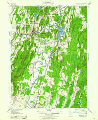
Editions of this 1942 Rosendale Map
2 editions found
Other maps of this area

1893 · Poughkeepsie
USGS Topo · 1:62,500

1894 · Poughkeepsie
USGS Topo · 1:62,500

1898 · Rhinebeck
USGS Topo · 1:62,500

1901 · Rosendale
USGS Topo · 1:62,500

1903 · Poughkeepsie
USGS Topo · 1:62,500

1903 · Newburg
USGS Topo · 1:62,500

1903 · Rosendale
USGS Topo · 1:62,500

1934 · Rhinebeck
USGS Topo · 1:48,000

1936 · Poughkeepsie
USGS Topo · 1:48,000

1939 · Rhinebeck
USGS Topo · 1:62,500