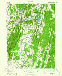
1942 Map of Rosendale
USGS Topo · Published 1961About this map
The Delaware and Hudson Canal follows the winding course of Rondout Creek through the heart of the region, marking a landscape defined by 1940s industrial activity and riverside settlement. The extraction of natural resources is evident at the Century Cement Co and the Snyder Lime Plant, reflecting the area's significance in the cement industry. Transportation networks are densely layered here, with the New York Ontario and Western RR and the New York Central RR providing critical rail links to towns like Rosendale and Cottekill.
Find a feature on this map
59 named features on this map. Tap any name to fly to it.
Don’t see what you’re looking for? This feature index may not catch every label — zoom into the map to look around manually.
Map Details
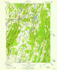
Editions of this 1942 Rosendale Map
2 editions found
Other maps of this area

1893 · Poughkeepsie
USGS Topo · 1:62,500

1894 · Poughkeepsie
USGS Topo · 1:62,500

1898 · Rhinebeck
USGS Topo · 1:62,500

1901 · Rosendale
USGS Topo · 1:62,500

1903 · Poughkeepsie
USGS Topo · 1:62,500

1903 · Newburg
USGS Topo · 1:62,500

1903 · Rosendale
USGS Topo · 1:62,500

1934 · Rhinebeck
USGS Topo · 1:48,000

1936 · Poughkeepsie
USGS Topo · 1:48,000

1939 · Rhinebeck
USGS Topo · 1:62,500