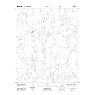
2011 Map of Rosetta
USGS Topo · Published 2011About this map
The Boston Mountains define the high-elevation landscape of this Johnson County region, where the small settlement of Rosetta is positioned along the ridge lines. The terrain is deeply dissected by numerous watercourses, including Big Piney Creek to the east and Little Piney Creek to the south. This network of creeks and branches has historically dictated the placement of mountain roads like Pine Ridge Rd and Porter Rd, which follow the natural contours of the ridges and valleys.
Find a feature on this map
40 named features on this map. Tap any name to fly to it.
Don’t see what you’re looking for? This feature index may not catch every label — zoom into the map to look around manually.
Map Details
Editions of this 2011 Rosetta Map
This is the sole edition of this map. No revisions or reprints were ever made.
Other maps of this area

1889 · Treat
USGS Topo · 1:62,500

1889 · Ozone
USGS Topo · 1:62,500

1932 · Treat
USGS Topo · 1:62,500

1933 · Mt Judea
USGS Topo · 1:62,500

1934 · Treat
USGS Topo · 1:62,500

1934 · Ozone
USGS Topo · 1:62,500

1936 · Ozone
USGS Topo · 1:62,500

1940 · Mt Judea
USGS Topo · 1:62,500

1956 · Russellville
USGS Topo · 1:250,000

1964 · Russellville
USGS Topo · 1:250,000