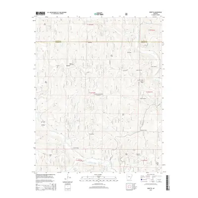
2014 Map of Rosetta
USGS Topo · Published 2014About this map
The Boston Mountains dominate this 2014 topographic study of northern Johnson County, where the high-altitude settlement of Rosetta sits near the headwaters of Lick Cr. This area of the Ozark National Forest is defined by a series of prominent ridges and deep hollows, including Bee Ridge and Pine Ridge, which channel drainage into Big Piney Creek and Little Piney Creek. The map provides specific locations for local genealogical research, such as the Rosetta Cem and Union Cem. Human activity is concentrated along ridge-top roads like State Hwy 123 and Pine Ridge Rd, while the southern portion of the quadrangle descends toward Garber and the peaks of Ozone Mtn and Pilot Rock Mtn. This terrain illustrates the isolated nature of Ozark plateau communities and the persistent reliance on natural geography for transport and settlement patterns.
Find a feature on this map
91 named features on this map. Tap any name to fly to it.
Don’t see what you’re looking for? This feature index may not catch every label — zoom into the map to look around manually.
Map Details
Editions of this 2014 Rosetta Map
This is the sole edition of this map. No revisions or reprints were ever made.
Other maps of this area

1889 · Treat
USGS Topo · 1:62,500

1889 · Ozone
USGS Topo · 1:62,500

1932 · Treat
USGS Topo · 1:62,500

1933 · Mt Judea
USGS Topo · 1:62,500

1934 · Treat
USGS Topo · 1:62,500

1934 · Ozone
USGS Topo · 1:62,500

1936 · Ozone
USGS Topo · 1:62,500

1940 · Mt Judea
USGS Topo · 1:62,500

1956 · Russellville
USGS Topo · 1:250,000

1964 · Russellville
USGS Topo · 1:250,000