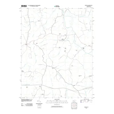
2010 Map of Rosine
USGS Topo · Published 2010About this map
Horse Branch and Rosine center this study of Ohio County, Kentucky, showcasing a landscape defined by its creek valleys and ridges. The terrain is marked by prominent elevations like Tunnel Hill and Wildcat Knob, while the southern portion is bisected by the Western Kentucky Pkwy. Numerous family-named landmarks suggest a deep-rooted community history, particularly evident in the distribution of burial sites such as McCord Cemetery, Wade Cemetery, and Baizetown Cemetery.
Find a feature on this map
64 named features on this map. Tap any name to fly to it.
Don’t see what you’re looking for? This feature index may not catch every label — zoom into the map to look around manually.
Map Details
Editions of this 2010 Rosine Map
This is the sole edition of this map. No revisions or reprints were ever made.
Other maps of this area

1907 · Whitesville
USGS Topo · 1:62,500

1909 · Whitesville
USGS Topo · 1:62,500

1909 · Hartford
USGS Topo · 1:62,500

1925 · Spring Lick
USGS Topo · 1:62,500

1932 · Fordsville
USGS Topo · 1:62,500

1953 · Dundee
USGS Topo · 1:24,000

1953 · Falls Of Rough
USGS Topo · 1:24,000

1954 · Evansville
USGS Topo · 1:250,000

1954 · Horton
USGS Topo · 1:24,000

1954 · Spring Lick
USGS Topo · 1:24,000