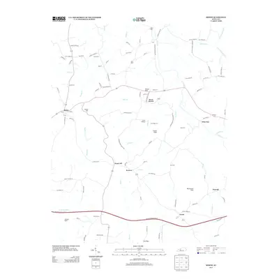
2013 Map of Rosine
USGS Topo · Published 2013About this map
Horse Branch and Rosine serve as central points in this Kentucky landscape, which is defined by a dense network of creeks and ridges. The topography is shaped by watercourses like Muddy Cr, Caney Cr, and the Jenny Br, while high points such as Wildcat Knob and Hickory Knob break the horizon. This 2013 survey provides a clear view of the rural road system, including routes like Shiloh-Hopewell Church Rd and Olaton-Horse Branch Rd, which connect small settlements such as White Run and Dogwalk. Local history is preserved through a significant concentration of burial grounds, including the McCord Cem and Baizetown Cem. The presence of features like Tunnel Hill near Rosine indicates the engineering required to navigate the area's elevation changes, illustrating the transition between the rolling uplands and the low-lying drainage basins of the S Fork Muddy Cr.
Find a feature on this map
104 named features on this map. Tap any name to fly to it.
Don’t see what you’re looking for? This feature index may not catch every label — zoom into the map to look around manually.
Map Details
Editions of this 2013 Rosine Map
This is the sole edition of this map. No revisions or reprints were ever made.
Other maps of this area

1907 · Whitesville
USGS Topo · 1:62,500

1909 · Whitesville
USGS Topo · 1:62,500

1909 · Hartford
USGS Topo · 1:62,500

1925 · Spring Lick
USGS Topo · 1:62,500

1932 · Fordsville
USGS Topo · 1:62,500

1953 · Dundee
USGS Topo · 1:24,000

1953 · Falls Of Rough
USGS Topo · 1:24,000

1954 · Evansville
USGS Topo · 1:250,000

1954 · Horton
USGS Topo · 1:24,000

1954 · Spring Lick
USGS Topo · 1:24,000