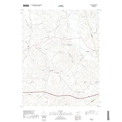
2019 Map of Rosine
USGS Topo · Published 2019About this map
Rosine and Horse Branch anchor this portion of Ohio County, where the landscape is defined by the winding drainages of Muddy Cr and Caney Creek. The area is characterized by a high density of family and community burial grounds, such as Arnold Ridge Cem, McCord Cem, and Wade Cem, reflecting a long history of local settlement. High points like Wildcat Knob and Rattlesnake Knob overlook the diverse creek systems, including Horse Br and Jenny Br.
Find a feature on this map
87 named features on this map. Tap any name to fly to it.
Don’t see what you’re looking for? This feature index may not catch every label — zoom into the map to look around manually.
Map Details
Editions of this 2019 Rosine Map
This is the sole edition of this map. No revisions or reprints were ever made.
Other maps of this area

1907 · Whitesville
USGS Topo · 1:62,500

1909 · Whitesville
USGS Topo · 1:62,500

1909 · Hartford
USGS Topo · 1:62,500

1925 · Spring Lick
USGS Topo · 1:62,500

1932 · Fordsville
USGS Topo · 1:62,500

1953 · Dundee
USGS Topo · 1:24,000

1953 · Falls Of Rough
USGS Topo · 1:24,000

1954 · Evansville
USGS Topo · 1:250,000

1954 · Horton
USGS Topo · 1:24,000

1954 · Spring Lick
USGS Topo · 1:24,000