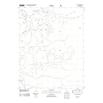
2011 Map of Rosita
USGS Topo · Published 2011About this map
Rosita Hills dominate this portion of Custer County, revealing a landscape defined by its mining heritage. The settlement of Rosita and the nearby Rosita Cemetery sit at the center of a network of historic claims and operations, including the Rosita Mine, Mount Robinson Mine, and the Democrat Mine. Further north, the community of Querida borders Dutch Flat, while the eastern terrain transitions into the high reaches of Arkansas Mountain and Junkins Park.
Find a feature on this map
104 named features on this map. Tap any name to fly to it.
Don’t see what you’re looking for? This feature index may not catch every label — zoom into the map to look around manually.
Map Details
Editions of this 2011 Rosita Map
This is the sole edition of this map. No revisions or reprints were ever made.
Other maps of this area

1889 · Canon City
USGS Topo · 1:125,000

1889 · Huerfano Park
USGS Topo · 1:125,000

1892 · Huerfano Park
USGS Topo · 1:125,000

1892 · Canon City
USGS Topo · 1:125,000

1954 · Mount Tyndall
USGS Topo · 1:24,000

1954 · Rosita
USGS Topo · 1:24,000

1954 · Trinidad
USGS Topo · 1:250,000

1954 · Pueblo
USGS Topo · 1:250,000

1955 · Westcliffe
USGS Topo · 1:24,000

1955 · Trinidad
USGS Topo · 1:250,000