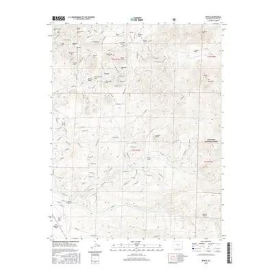
2016 Map of Rosita
USGS Topo · Published 2016About this map
Rosita sits at the heart of this high-altitude landscape, surrounded by the mineral-rich peaks of the Rosita Hills. The settlement's layout and the nearby Rosita Cem reflect the area's residency and history, while family-named summits like Pringle Hill and Pocahontas Hill point to the early land claims and prospecting that defined this region. To the east, the terrain rises into the Wet Mountains and the protected stands of the San Isabel National Forest, showcasing a transition from the mining-centric hills to more rugged, undeveloped timberland.
Find a feature on this map
123 named features on this map. Tap any name to fly to it.
Don’t see what you’re looking for? This feature index may not catch every label — zoom into the map to look around manually.
Map Details
Editions of this 2016 Rosita Map
This is the sole edition of this map. No revisions or reprints were ever made.
Other maps of this area

1889 · Canon City
USGS Topo · 1:125,000

1889 · Huerfano Park
USGS Topo · 1:125,000

1892 · Huerfano Park
USGS Topo · 1:125,000

1892 · Canon City
USGS Topo · 1:125,000

1954 · Mount Tyndall
USGS Topo · 1:24,000

1954 · Rosita
USGS Topo · 1:24,000

1954 · Trinidad
USGS Topo · 1:250,000

1954 · Pueblo
USGS Topo · 1:250,000

1955 · Westcliffe
USGS Topo · 1:24,000

1955 · Trinidad
USGS Topo · 1:250,000