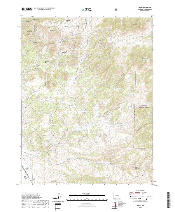
2022 Map of Rosita
USGS Topo · Published 2022About this map
Rosita and the surrounding Rosita Hills center this map, reflecting a landscape shaped by historical mining and high-altitude ranching. Located within the San Isabel National Forest, the terrain is defined by a dense network of gulches like Poverty Gulch and Cottonwood Gulch that cut through prominent peaks such as Pocahontas Hill and Pennsylvania Hill. The settlement pattern shows a transition from the structured street grids of Silver Cliff and Querida to the more dispersed residential developments and named tracks like Drunk Horse Ln and Manden Rd.
Find a feature on this map
157 named features on this map. Tap any name to fly to it.
Don’t see what you’re looking for? This feature index may not catch every label — zoom into the map to look around manually.
Map Details
Editions of this 2022 Rosita Map
This is the sole edition of this map. No revisions or reprints were ever made.
Other maps of this area

1889 · Canon City
USGS Topo · 1:125,000

1889 · Huerfano Park
USGS Topo · 1:125,000

1892 · Huerfano Park
USGS Topo · 1:125,000

1892 · Canon City
USGS Topo · 1:125,000

1954 · Mount Tyndall
USGS Topo · 1:24,000

1954 · Rosita
USGS Topo · 1:24,000

1954 · Trinidad
USGS Topo · 1:250,000

1954 · Pueblo
USGS Topo · 1:250,000

1955 · Westcliffe
USGS Topo · 1:24,000

1955 · Trinidad
USGS Topo · 1:250,000