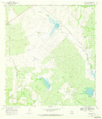
1969 Map of Rosita NW
USGS Topo · Published 1972About this map
The brushy ranchlands of Duval County are defined by a network of ephemeral watercourses and energy infrastructure in this late-1960s survey. San Diego Creek and Chiltipin Creek wind through the terrain, where a series of risers and spillways, such as Riser 512 and Spillway 500, suggest a managed hydraulic landscape designed for livestock or oil field operations. The area around San Cajo is marked by numerous Oil Wells and a prominent Pipeline that cuts across the southern portion of the sheet.
Find a feature on this map
25 named features on this map. Tap any name to fly to it.
Don’t see what you’re looking for? This feature index may not catch every label — zoom into the map to look around manually.
Map Details
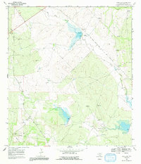
Editions of this 1969 Rosita NW Map
2 editions found
Other maps of this area

1920 · Mikeska
USGS Topo · 1:125,000

1937 · Loma Alta
USGS Topo · 1:62,500

1953 · Crystal City
USGS Topo · 1:250,000

1955 · Crystal City
USGS Topo · 1:250,000

1956 · Rosita Ranch
USGS Topo · 1:62,500

1956 · Freer
USGS Topo · 1:62,500

1956 · Laredo
USGS Topo · 1:250,000

1961 · Crystal City
USGS Topo · 1:250,000

1968 · Crystal City
USGS Topo · 1:250,000
1968 · Rosita
USGS Topo · 1:24,000