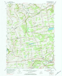
2023 Map of Rotterdam Junction
USGS Topo · Published 2023About this map
The Mohawk River carves the northern boundary of this landscape, where the valley floor at Lower Rotterdam Junction rises sharply into the hills of Schenectady County. This modern survey illustrates the enduring settlement patterns of the region, from the cluster of homes at Mariaville Lake to the scattered crossroads of Rynex Corners and Princetown. The terrain is defined by a series of south-flowing waterways, including the Plotter Kill, Poentic Kill, and Normans Kill, which have shaped the movement of local roads and land use for generations.
Find a feature on this map
125 named features on this map. Tap any name to fly to it.
Don’t see what you’re looking for? This feature index may not catch every label — zoom into the map to look around manually.
Map Details
Editions of this 2023 Rotterdam Junction Map
This is the sole edition of this map. No revisions or reprints were ever made.
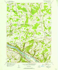
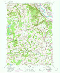
Historical Maps of Duanesburg Through Time
6 maps found