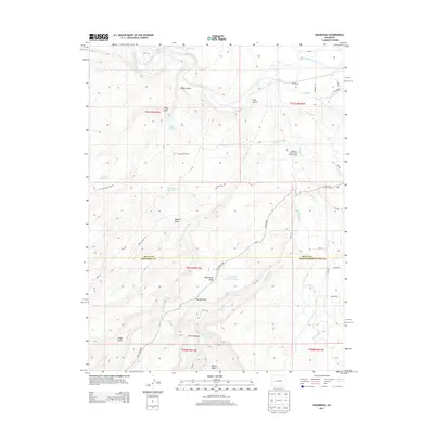
2013 Map of Roubideau
USGS Topo · Published 2013About this map
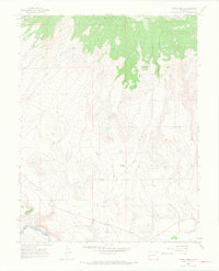
The Gunnison River winds through the northern portion of this quadrangle, defining a landscape dominated by the high tablelands of Sawmill Mesa and Twentyfive Mesa. This 2013 survey illustrates a complex water management system essential to the region, featuring the Ironstone Canal and upland catchments like Twentyfive Mesa Reservoir and Shortcut Reservoir. These irrigation works support the agricultural activity along the river valley and the various gulches.
Find a feature on this map
49 named features on this map. Tap any name to fly to it.
Don’t see what you’re looking for? This feature index may not catch every label — zoom into the map to look around manually.
Map Details
Editions of this 2013 Roubideau Map
This is the sole edition of this map. No revisions or reprints were ever made.
Other maps of this area

1956 · Moab
USGS Topo · 1:250,000

1959 · Moab
USGS Topo · 1:250,000

1960 · Moab
USGS Topo · 1:250,000

1962 · Moab
USGS Topo · 1:250,000
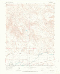
1962 · North Delta
USGS Topo · 1:24,000
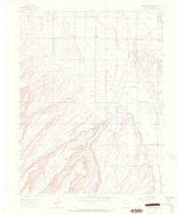
1962 · Hoovers Corner
USGS Topo · 1:24,000
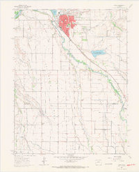
1962 · Delta
USGS Topo · 1:24,000

1964 · Moab
USGS Topo · 1:250,000

1965 · Moab
USGS Topo · 1:250,000
1965 · Point Creek
USGS Topo · 1:24,000