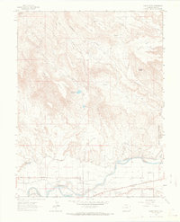
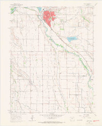
1962 Map of North Delta
USGS Topo · Published 1966About this map
The Gunnison River and Uncompahgre R converge in this 1960s survey of Delta County, where the valley floor meets the rising elevations of the Colorado high desert. The small community of North Delta and the stop at Saunders sit along the corridor of the Denver and Rio Grande Western railroad, supported by an intricate network of irrigation including the North Delta Canal, Hartland Ditch, and Bona Fide Ditch. The landscape is dominated by massive flat-topped formations such as Negro Mesa, Beebe Mesa, and Doctor Mesa, which are carved by drainages like Doughspoon Creek. Local landmarks including Blake Field and the Memory Gardens Cemetery reflect the mid-century development of the area, while the northern reaches touch the Grand Mesa Nat For. Cultural features like the Bethel Ch and a Drive-in Theater emphasize the local social geography at the time of the field check.
Find a feature on this map
39 named features on this map. Tap any name to fly to it.
Don’t see what you’re looking for? This feature index may not catch every label — zoom into the map to look around manually.
Map Details
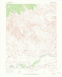
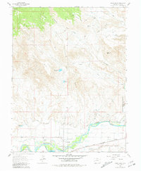
Editions of this 1962 North Delta Map
3 editions found
Other maps of this area

1955 · Olathe NW
USGS Topo · 1:24,000

1956 · Montrose
USGS Topo · 1:250,000

1956 · Moab
USGS Topo · 1:250,000

1959 · Moab
USGS Topo · 1:250,000

1959 · Montrose
USGS Topo · 1:250,000

1960 · Montrose
USGS Topo · 1:250,000

1960 · Moab
USGS Topo · 1:250,000

1962 · Moab
USGS Topo · 1:250,000
1962 · Orchard City
USGS Topo · 1:24,000
1962 · Delta
USGS Topo · 1:24,000