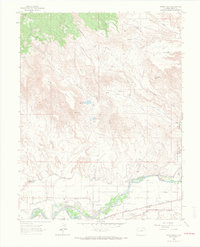
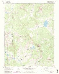
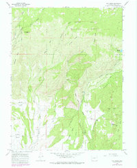
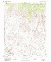
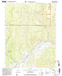
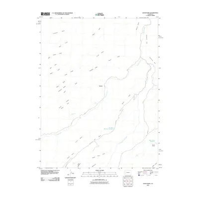
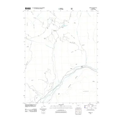
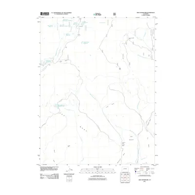
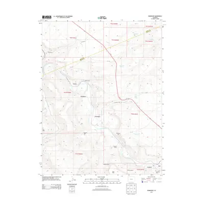
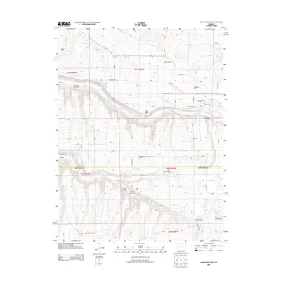
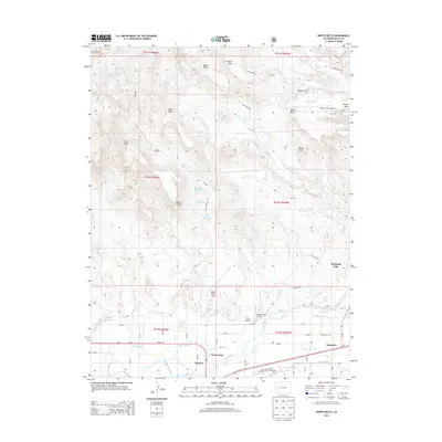
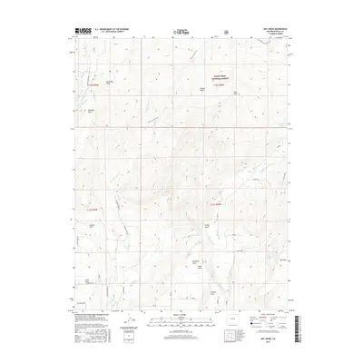
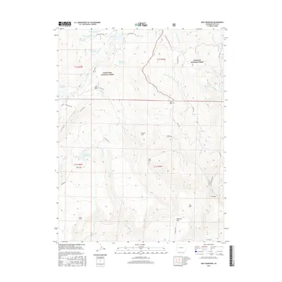
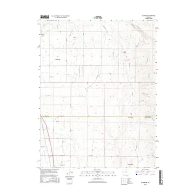
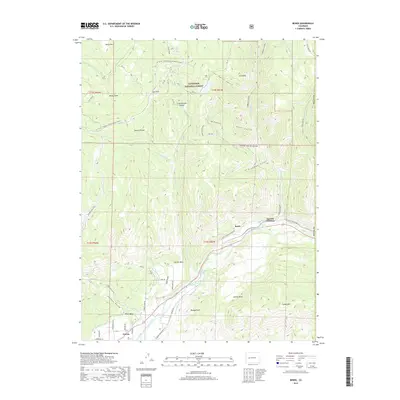
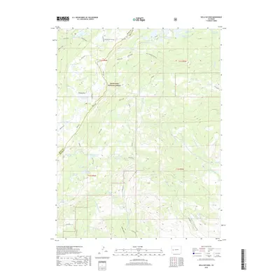
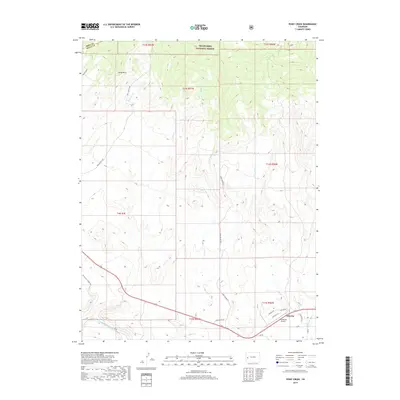
1962 Map of North Delta
USGS Topo · Published 1966About this map
The Gunnison River and Uncompahgre River converge in a landscape of high mesas and agricultural irrigation south of the Grand Mesa Nat For. In the early 1960s, this area reflects a complex water management system essential for high-desert farming, characterized by the North Delta Canal, Hartland Ditch, and Garnet Canal. The settlement of North Delta serves as a local hub, supported by the Denver and Rio Grande Western railroad tracks running parallel to the river valley. Local landmarks such as the Mt Gilead Bethel Ch, Blake Field, and the Memory Gardens Cemetery provide specific points of interest for genealogists and local historians. To the north, the terrain rises sharply toward January Mesa and Beebe Mesa, while the Adobe Buttes and Devils Thumb mark the distinct geological character of the Colorado Western Slope.
Find a feature on this map
37 named features on this map. Tap any name to fly to it.
Don’t see what you’re looking for? This feature index may not catch every label — zoom into the map to look around manually.
Map Details
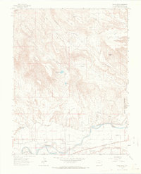
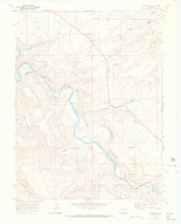
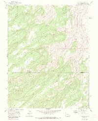
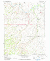
Editions of this 1962 North Delta Map
3 editions found
Historical Maps of Delta Through Time
92 maps found
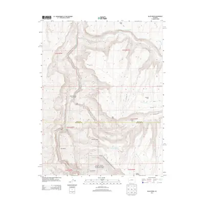
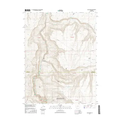
1955 Black Ridge
Delta County, CO
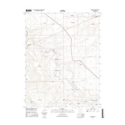
1955 Olathe NW
Delta County, CO

1960 Leon Peak
Delta County, CO
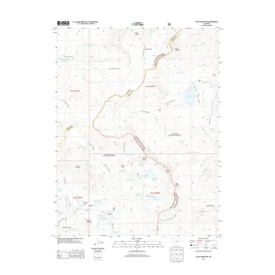
1961 Chalk Mountain
Delta County, CO
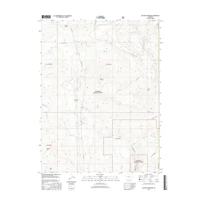
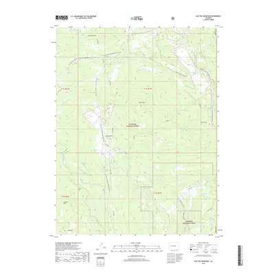
1961 Electric Mountain
Delta County, CO
1962 North Delta
Delta County, CO
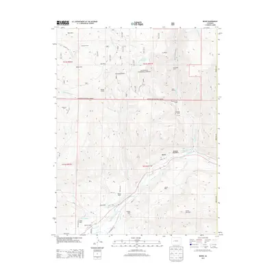
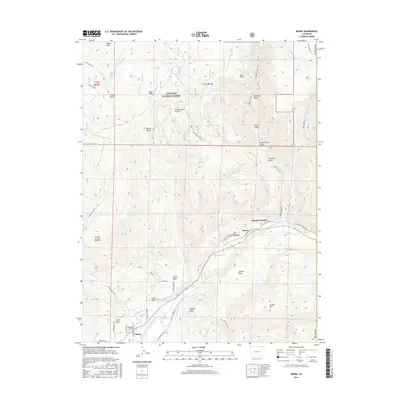
1965 Bowie
Delta County, CO
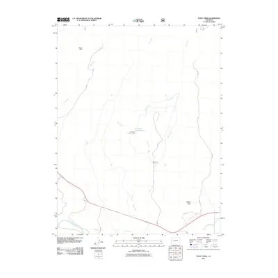
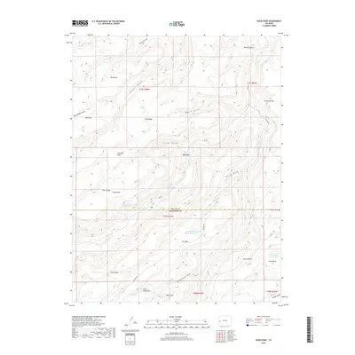
1965 Dry Creek
Delta County, CO
1965 Grand View Mesa
Delta County, CO
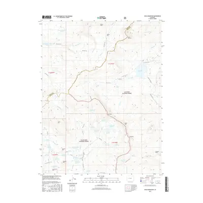
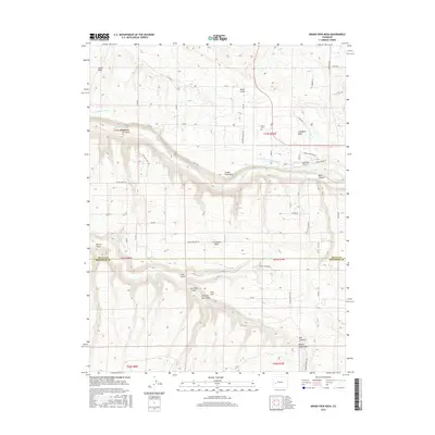
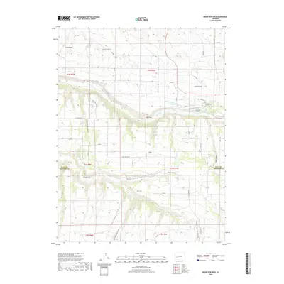
1965 Gray Reservoir
Delta County, CO
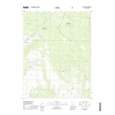
1965 Hells Kitchen
Delta County, CO
1965 Point Creek
Delta County, CO
1969 Dominguez
Delta County, CO
1969 Good Point
Delta County, CO
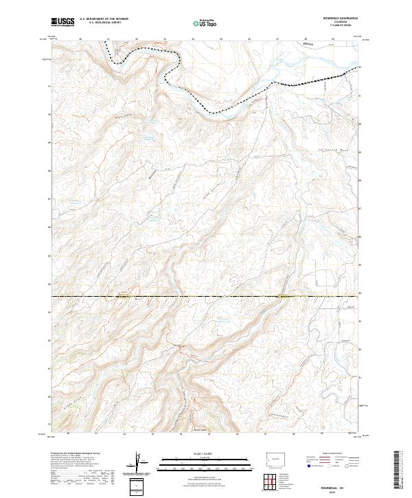
1969 Roubideau
Delta County, CO
2001 Bowie
Delta County, CO
2001 Electric Mountain
Delta County, CO
2010 Black Ridge
Delta County, CO
2010 Dominguez
Delta County, CO
2010 Good Point
Delta County, CO
2010 Grand View Mesa
Delta County, CO
2010 Olathe NW
Delta County, CO
2010 Roubideau
Delta County, CO
2011 Bowie
Delta County, CO
2011 Chalk Mountain
Delta County, CO
2011 Dry Creek
Delta County, CO
2011 Electric Mountain
Delta County, CO
2011 Gray Reservoir
Delta County, CO
2011 Hells Kitchen
Delta County, CO
2011 Leon Peak
Delta County, CO
2011 North Delta
Delta County, CO
2011 Point Creek
Delta County, CO
2013 Black Ridge
Delta County, CO
2013 Bowie
Delta County, CO
2013 Chalk Mountain
Delta County, CO
2013 Dominguez
Delta County, CO
2013 Dry Creek
Delta County, CO
2013 Electric Mountain
Delta County, CO
2013 Good Point
Delta County, CO
2013 Grand View Mesa
Delta County, CO
2013 Gray Reservoir
Delta County, CO
2013 Hells Kitchen
Delta County, CO
2013 Leon Peak
Delta County, CO
2013 North Delta
Delta County, CO
2013 Olathe NW
Delta County, CO
2013 Point Creek
Delta County, CO
2013 Roubideau
Delta County, CO
2016 Black Ridge
Delta County, CO
2016 Bowie
Delta County, CO
2016 Chalk Mountain
Delta County, CO
2016 Dominguez
Delta County, CO
2016 Dry Creek
Delta County, CO
2016 Electric Mountain
Delta County, CO
2016 Good Point
Delta County, CO
2016 Grand View Mesa
Delta County, CO
2016 Gray Reservoir
Delta County, CO
2016 Hells Kitchen
Delta County, CO
2016 Leon Peak
Delta County, CO
2016 North Delta
Delta County, CO
2016 Olathe NW
Delta County, CO
2016 Point Creek
Delta County, CO
2016 Roubideau
Delta County, CO
2019 Black Ridge
Delta County, CO
2019 Bowie
Delta County, CO
2019 Chalk Mountain
Delta County, CO
2019 Dominguez
Delta County, CO
2019 Dry Creek
Delta County, CO
2019 Electric Mountain
Delta County, CO
2019 Good Point
Delta County, CO
2019 Grand View Mesa
Delta County, CO
2019 Gray Reservoir
Delta County, CO
2019 Hells Kitchen
Delta County, CO
2019 Leon Peak
Delta County, CO
2019 North Delta
Delta County, CO
2019 Olathe NW
Delta County, CO
2019 Point Creek
Delta County, CO
2019 Roubideau
Delta County, CO
2022 Black Ridge
Delta County, CO
2022 Bowie
Delta County, CO
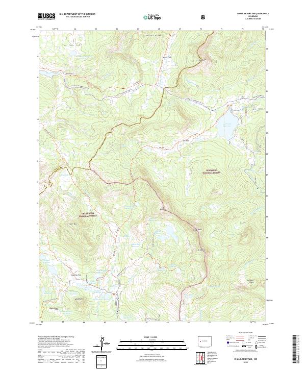
2022 Chalk Mountain
Delta County, CO
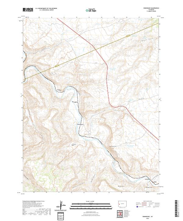
2022 Dominguez
Delta County, CO
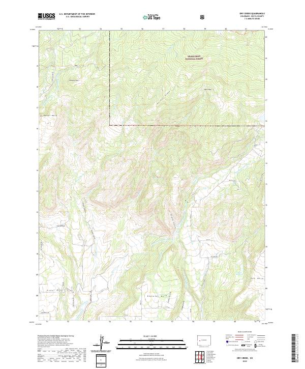
2022 Dry Creek
Delta County, CO
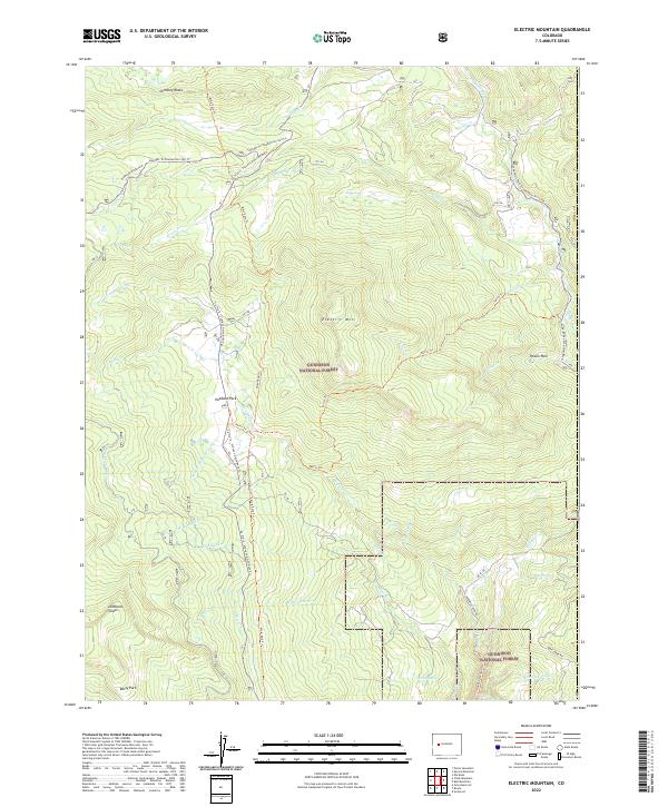
2022 Electric Mountain
Delta County, CO
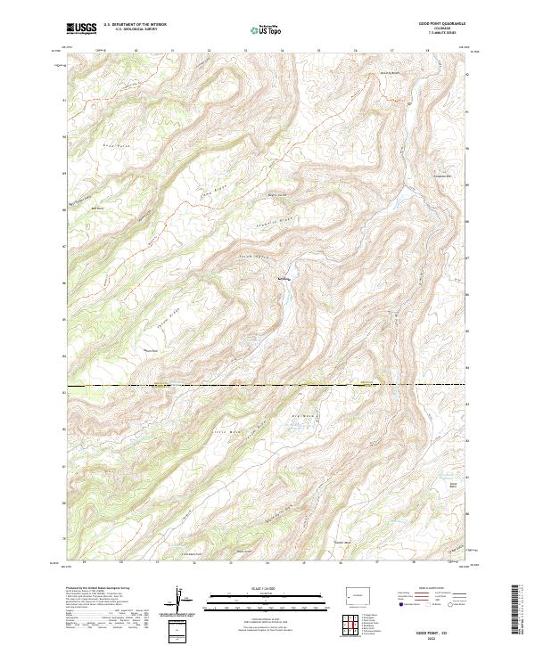
2022 Good Point
Delta County, CO
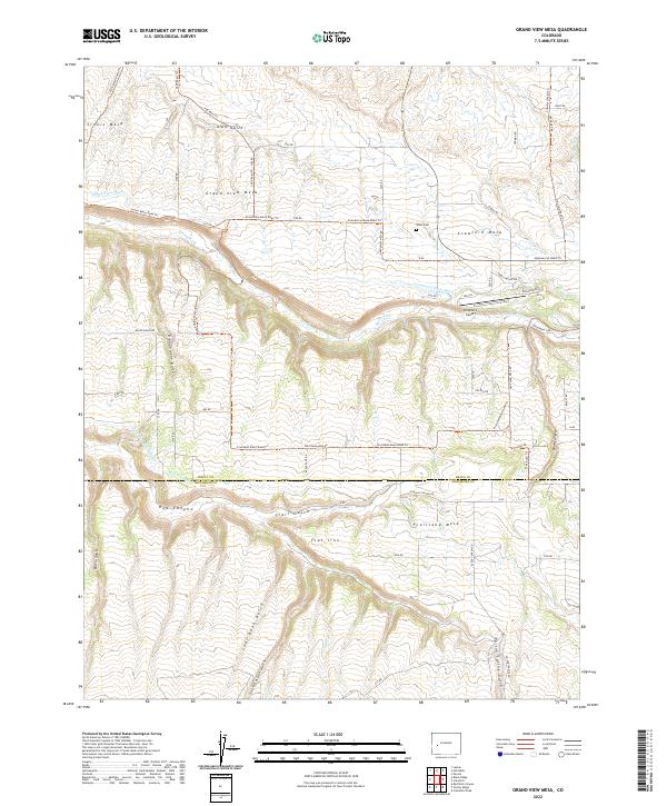
2022 Grand View Mesa
Delta County, CO
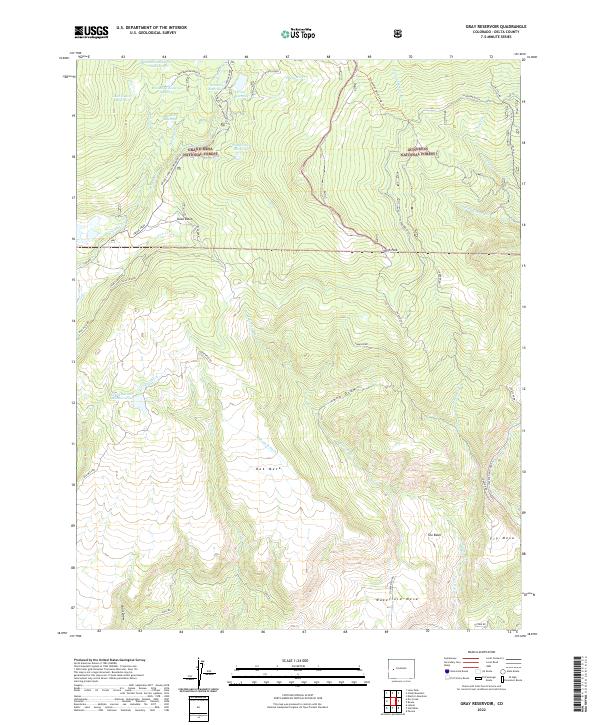
2022 Gray Reservoir
Delta County, CO
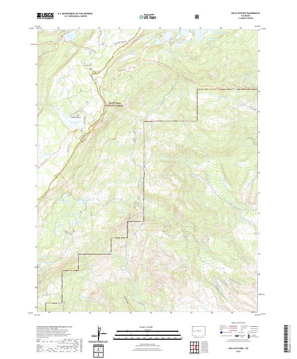
2022 Hells Kitchen
Delta County, CO
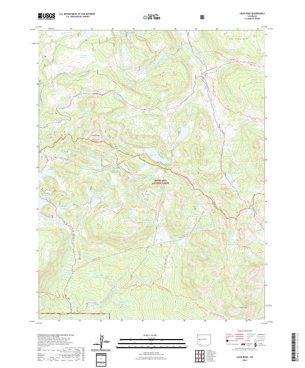
2022 Leon Peak
Delta County, CO
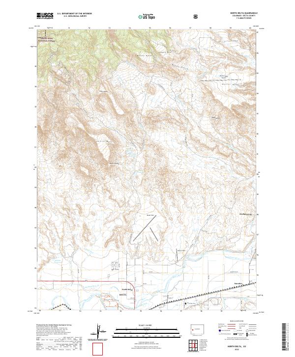
2022 North Delta
Delta County, CO
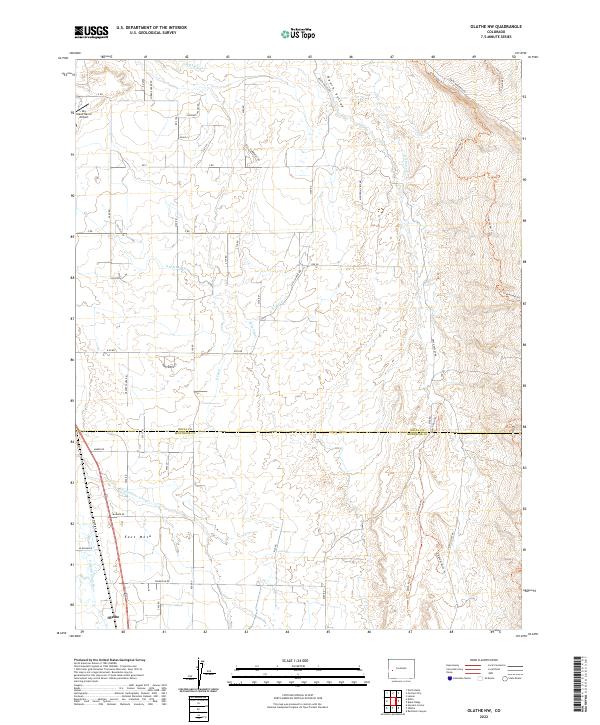
2022 Olathe NW
Delta County, CO
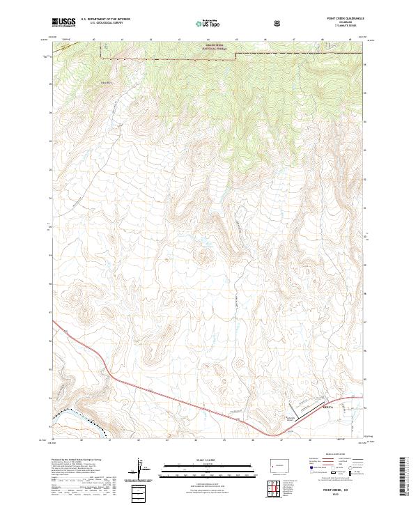
2022 Point Creek
Delta County, CO
2022 Roubideau
Delta County, CO