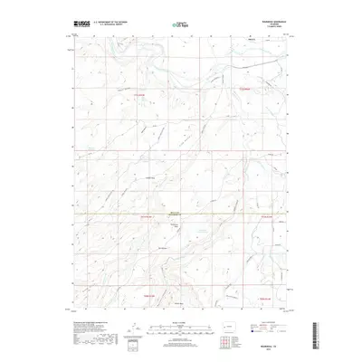
2019 Map of Roubideau
USGS Topo · Published 2019About this map
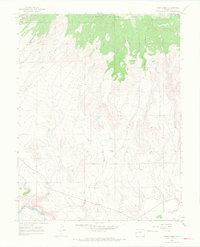
The Gunnison River carves through the northern reaches of this landscape, marking a significant hydrological divide at the border of Delta. South of the river, the terrain is defined by a complex network of canyons and mesas, including the prominent Sawmill Mesa and Twentyfive Mesa. This 2019 survey illustrates the vital irrigation infrastructure necessary for agriculture in this arid region, featuring the Ironstone Canal, F N B Lateral, and C-O Lateral.
Find a feature on this map
54 named features on this map. Tap any name to fly to it.
Don’t see what you’re looking for? This feature index may not catch every label — zoom into the map to look around manually.
Map Details
Editions of this 2019 Roubideau Map
This is the sole edition of this map. No revisions or reprints were ever made.
Other maps of this area

1956 · Moab
USGS Topo · 1:250,000

1959 · Moab
USGS Topo · 1:250,000

1960 · Moab
USGS Topo · 1:250,000

1962 · Moab
USGS Topo · 1:250,000
1962 · North Delta
USGS Topo · 1:24,000
1962 · Hoovers Corner
USGS Topo · 1:24,000
1962 · Delta
USGS Topo · 1:24,000

1964 · Moab
USGS Topo · 1:250,000

1965 · Moab
USGS Topo · 1:250,000
1965 · Point Creek
USGS Topo · 1:24,000