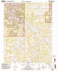
2004 Map of Roubidoux
USGS Topo · Published 2006About this map
Roubidoux Creek carves a winding path through the northern reaches of the Mark Twain National Forest, defining the drainage patterns of this Texas County landscape. The area is marked by a history of rural education and community, evidenced by several former institutional locations including the Mount Pisgah Sch (Site), Mill Cr Sch (Site), and Timber Ridge Sch (Site). These sites, alongside the small settlement of Turley, reflect the dispersed nature of early Ozark habitation near the transition between Township 32 North and Township 31 North.
Find a feature on this map
22 named features on this map. Tap any name to fly to it.
Don’t see what you’re looking for? This feature index may not catch every label — zoom into the map to look around manually.
Map Details
Editions of this 2004 Roubidoux Map
This is the sole edition of this map. No revisions or reprints were ever made.
Other maps of this area

1931 · Manes
USGS Topo · 1:48,000

1941 · Big Piney
USGS Topo · 1:62,500

1941 · Manes
USGS Topo · 1:62,500

1941 · Bado
USGS Topo · 1:62,500

1943 · Big Piney
USGS Topo · 1:62,500

1943 · Manes
USGS Topo · 1:62,500

1943 · Drynob
USGS Topo · 1:62,500

1943 · Bado
USGS Topo · 1:62,500

1954 · Springfield
USGS Topo · 1:250,000

1954 · Drynob
USGS Topo · 1:62,500