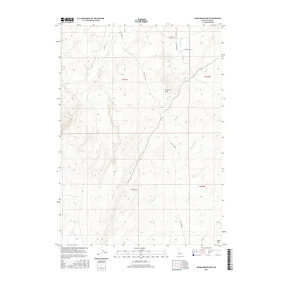
2017 Map of Rough Mountain NE
USGS Topo · Published 2017About this map
Birch Creek and Castle Creek define this high-desert landscape in Owyhee County, where deep drainages and dry washes have carved a complex network through the arid terrain. The land is marked by seasonal watercourses such as Cloudburst Wash, McKeeth Wash, and Garbutt Wash, indicating a geography shaped by sudden, intermittent flows rather than perennial rivers. Human imprint is defined by a sparse network of ranching roads, most notably Castle Creek Rd, which serves as a primary artery through the townships of t5s r1e and t6s r1e. Local family and place-named routes like Steiner Valley Rd, White Eagle Rd, and Ranch House Ln hint at the rural ranching operations that have long occupied this corner of Idaho. The presence of Poison Gulch in the southeastern corner provides a characteristically colorful western landmark for those tracing the history of local land use and geographic naming.
Find a feature on this map
16 named features on this map. Tap any name to fly to it.
Don’t see what you’re looking for? This feature index may not catch every label — zoom into the map to look around manually.
Map Details
Editions of this 2017 Rough Mountain NE Map
This is the sole edition of this map. No revisions or reprints were ever made.
Other maps of this area

1892 · Bisuka
USGS Topo · 1:125,000

1894 · Bisuka
USGS Topo · 1:125,000

1947 · Grand View
USGS Topo · 1:62,500

1947 · Jackass Butte
USGS Topo · 1:24,000

1947 · Vinson Wash
USGS Topo · 1:24,000

1947 · Perjue Canyon
USGS Topo · 1:24,000

1948 · Castle Butte
USGS Topo · 1:24,000

1948 · Perjue Canyon
USGS Topo · 1:24,000

1948 · Vinson Wash
USGS Topo · 1:24,000

1948 · Jackass Butte
USGS Topo · 1:24,000