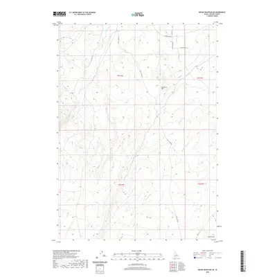
2020 Map of Rough Mountain NE
USGS Topo · Published 2020About this map
The arid high-desert environment of Owyhee County is defined here by a network of drainage channels that trace the movement of water through an otherwise dry landscape. Features such as Garbutt Wash, Cloudburst Wash, and McKeeth Wash converge and branch across the terrain, indicating a geography shaped by seasonal runoff and flash flooding. Castle Cr and Birch Creek are the primary watercourses through this section, flanked by a network of rural routes that serve local ranching interests.
Find a feature on this map
17 named features on this map. Tap any name to fly to it.
Don’t see what you’re looking for? This feature index may not catch every label — zoom into the map to look around manually.
Map Details
Editions of this 2020 Rough Mountain NE Map
This is the sole edition of this map. No revisions or reprints were ever made.
Other maps of this area

1892 · Bisuka
USGS Topo · 1:125,000

1894 · Bisuka
USGS Topo · 1:125,000

1947 · Grand View
USGS Topo · 1:62,500

1947 · Jackass Butte
USGS Topo · 1:24,000

1947 · Vinson Wash
USGS Topo · 1:24,000

1947 · Perjue Canyon
USGS Topo · 1:24,000

1948 · Castle Butte
USGS Topo · 1:24,000

1948 · Perjue Canyon
USGS Topo · 1:24,000

1948 · Vinson Wash
USGS Topo · 1:24,000

1948 · Jackass Butte
USGS Topo · 1:24,000