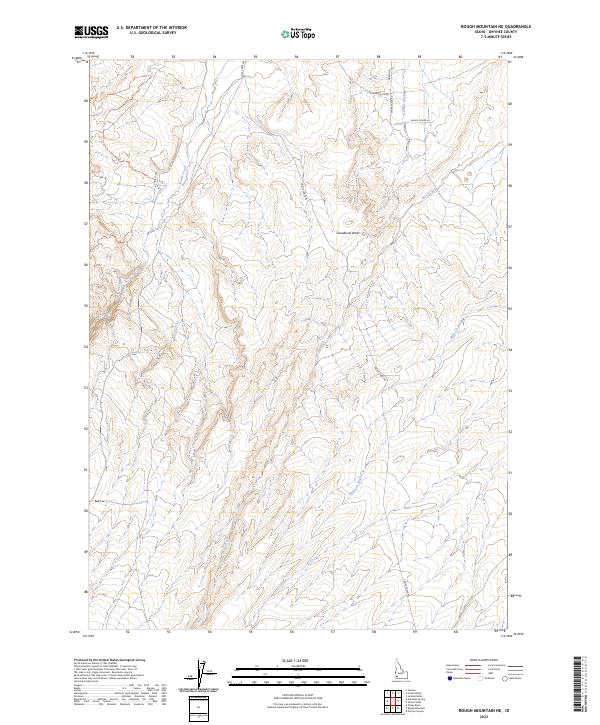
2023 Map of Rough Mountain NE
USGS Topo · Published 2023About this map
The high desert drainage systems of Owyhee County define this landscape, where intermittent watercourses have carved distinct paths through the arid terrain. The map detail centers on the intricate network of washes and creeks, including the prominent Cloudburst Wash and the winding course of Castle Creek. Roadways like Collett Rd and Steiner Valley Rd trace the contours of the land, providing access to the remote ranching corridors that have long characterized this part of Idaho. This topography illustrates the complex hydrology of the region, from the wide expanses of Garbutt Wash to the southern reaches of McKeeth Wash. The distribution of named roads such as Ranch House Ln suggests a sparse but enduring human presence tied to the land's natural geography and water resources.
Find a feature on this map
15 named features on this map. Tap any name to fly to it.
Don’t see what you’re looking for? This feature index may not catch every label — zoom into the map to look around manually.
Map Details
Editions of this 2023 Rough Mountain NE Map
This is the sole edition of this map. No revisions or reprints were ever made.
Other maps of this area

1892 · Bisuka
USGS Topo · 1:125,000

1894 · Bisuka
USGS Topo · 1:125,000

1947 · Grand View
USGS Topo · 1:62,500

1947 · Jackass Butte
USGS Topo · 1:24,000

1947 · Vinson Wash
USGS Topo · 1:24,000

1947 · Perjue Canyon
USGS Topo · 1:24,000

1948 · Castle Butte
USGS Topo · 1:24,000

1948 · Perjue Canyon
USGS Topo · 1:24,000

1948 · Vinson Wash
USGS Topo · 1:24,000

1948 · Jackass Butte
USGS Topo · 1:24,000